
Garachico – A panoramic view in real time
a coastal gem of Tenerife embraced by the Atlantic



This is how Garachico feels today
👉 What feeling does it give you right now?
The Pulse reflects how this place is perceived right now.

Perfect day

Strong wind

Rough sea

Very quiet

Ideal Promenade

Variable day
Garachico, a coastal gem that rose from the lava
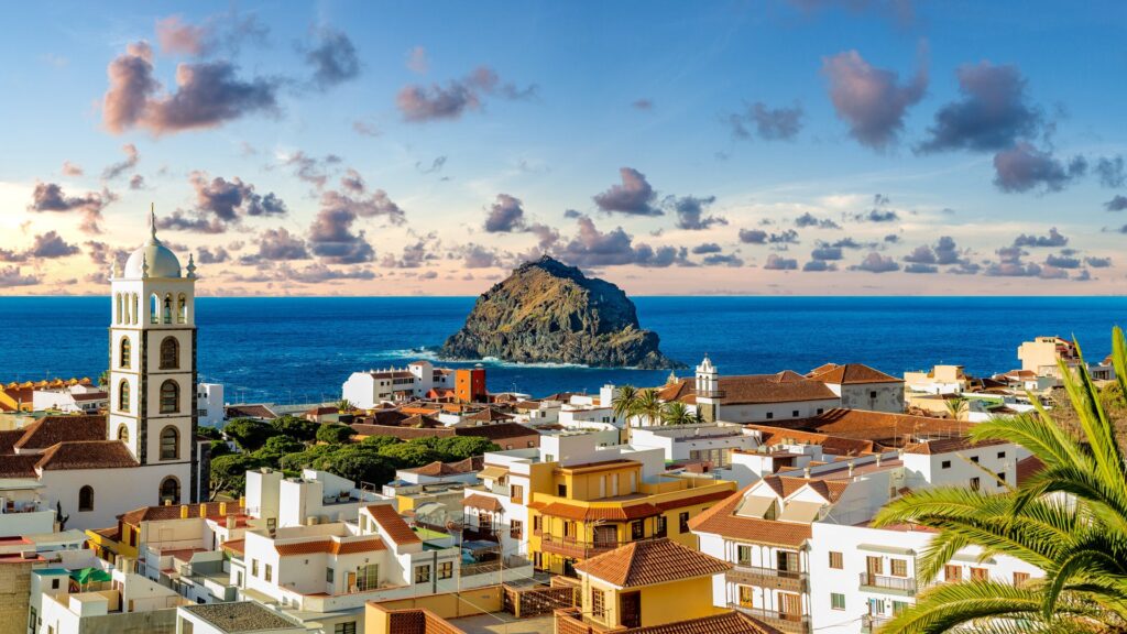
It captivates from the very first moment. Located on the northwest coast of Tenerife, facing a vigorous Atlantic, Garachico combines the pulse of a lively town with the weight of its history and the strength of its volcanic landscape. Thanks to the live cameras of CanariasLife, you can explore its surroundings in real time from anywhere in the world before visiting.
Living history in front of the ocean
During the 17th century, Garachico was one of the most active ports in the Canaries, the departure point for the malmsey wine that conquered European palates. In 1706, the eruption of the Trevejo volcano buried much of the port under lava flows. However, what seemed like an end was only a pause: the town reorganized, built new temples, and kept its gaze firmly towards the sea, reaffirming an identity that is still lived with intensity today.
The memory of that episode remains in the landscape and in the urban landmarks that recall how lava, stone, and water shaped the silhouette you see today from the webcam.
Cobblestone streets, architecture and El Caletón
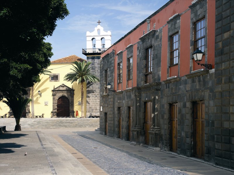
Walking through the historic center of Garachico is a delight. The sober facades with wooden balconies, cool patios, and Canary stone doorways invite leisurely strolls. The ensemble is declared a Cultural Heritage Asset, and here the heritage is cared for and lived: the Church of Santa Ana, the former Convent of San Francisco —now a cultural space— and the House of the Counts of La Gomera are must-stop locations just a few minutes on foot from each other.
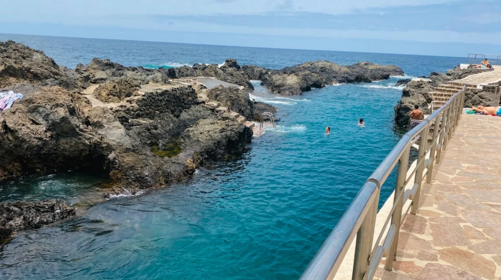
Along the promenade, the natural pools of El Caletón are the gift of geology: the lava cooled upon touching the sea and left a succession of holes and black pools where bathing is a delight. On days of strong seas, the panoramic webcam perfectly displays the wave conditions, making it easy to decide if it’s time for a swim or a walk.
Everything you need to know about Garachico
What can be seen in the panoramic webcam of Garachico?
The camera offers a panoramic view of the village, the coastline, and the state of the sea in real time. It is useful for planning your visit, checking the waves at El Caletón, and knowing the light conditions before heading out.
What are the natural pools of El Caletón?
They are natural puddles and pools formed when the lava from the eruption of 1706 cooled upon contact with the sea. They offer a protected bathing area from the waves in a unique volcanic environment. It is advisable to check the sea conditions before going down, especially on windy days.
How much time is needed to visit Garachico?
With half a day, you can explore the historic center, visit the main monuments, and enjoy El Caletón. With a full day, you can add the Garachico viewpoint in San Juan del Reparo and have a meal with local fresh fish.
When is the best time to visit Garachico?
Every season has its charm. Spring and autumn offer very pleasant temperatures for walking. In summer, the sea tends to be calmer, ideal for swimming at El Caletón. Additionally, in August, the Romería de San Roque is celebrated, one of the most colorful festivals in northern Tenerife.
What towns are near Garachico?
10 minutes by car is Icod de los Vinos with the Ancient Drago Tree. A bit further, 20 minutes away, lies Buenavista del Norte and the Teno Rural Park. Meanwhile, Puerto de la Cruz with the Botanical Garden and Playa Jardín is about 40 minutes away.
How to get to Garachico?
By car along the TF-42 from the north of the island. The Titsa bus lines connect with Icod de los Vinos, Buenavista del Norte, and Puerto de la Cruz throughout the day.