
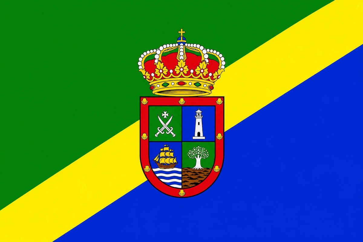
Live webcams of Barlovento, La Palma
Laguna de Barlovento and the pools of La Fajana
Barlovento, the wild, green north of La Palma
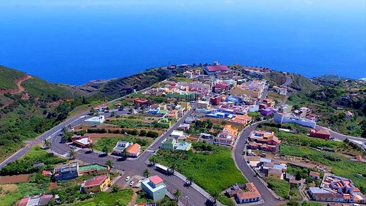
Barlovento occupies the northern tip of La Palma, always facing the trade winds which bring moisture and the intense green that characterises this part of the island. With barely 1,900 residents, cliffs up to 400 metres high, forests of laurisilva and the natural pools of La Fajana, it is one of the most authentic and least crowded spots in Canary Islands.
In fact, more than half its area is covered in forest, which makes it an ideal municipality for hiking and getting close to nature. Thanks to the CanariasLife webcam in La Fajana you can watch live the state of the sea and the conditions of the pools before going.
Natural pools of La Fajana
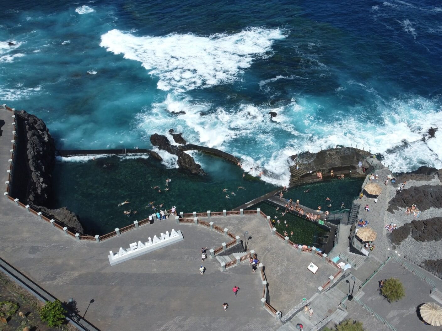
The natural pools of La Fajana are Barlovento's most visited attraction. They formed on an old volcanic lava flow and their three pools are fed directly by the Atlantic with every tide, which keeps the water clean and fresh.
The complex has been developed for swimming since 1976 and has lifeguards, showers, changing rooms, a sun terrace and two fresh fishrestaurants. Admission is also free. The upper car park doubles as a natural viewpoint with views of the pools and the ocean. With the CanariasLife webcam you can check the swell and the atmosphere before heading down.
Laguna de Barlovento and Faro de Punta Cumplida
Inland, at 650 metres above sea level, the Laguna de Barlovento occupies an old volcanic crater turned into La Palma's largest reservoir. It is surrounded by a pine forest with a recreational area, a campsite and a children's area. It is an ideal starting point for families wanting to explore the north of the island.
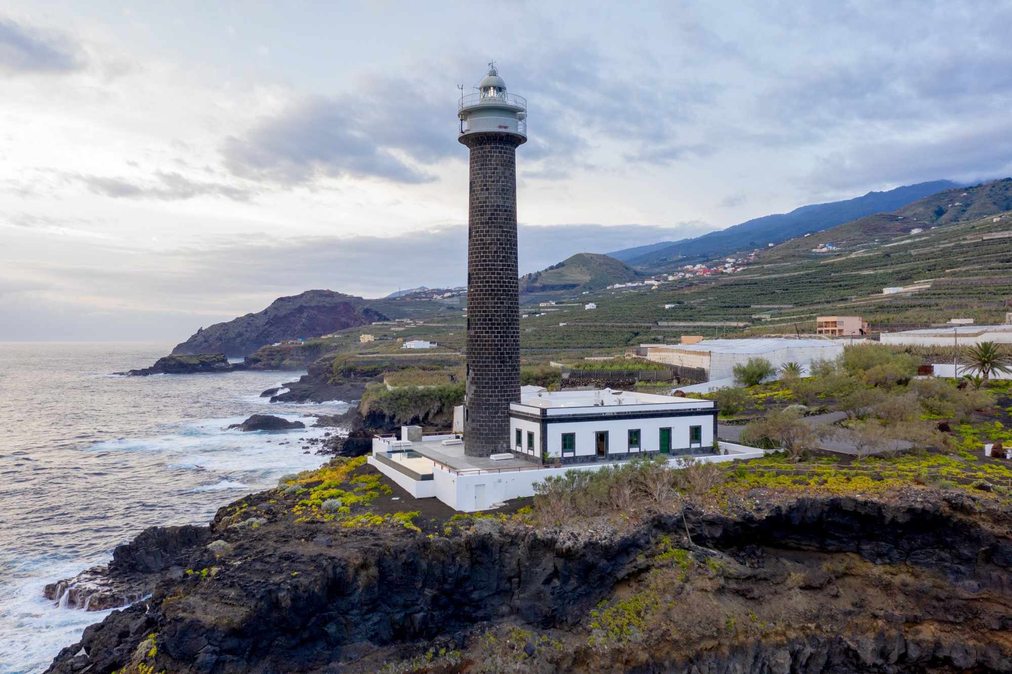
At the northernmost tip of the municipality, meanwhile, the Faro de Punta Cumplida has been lighting up the coast since 1867. It is one of the most photogenic viewpoints in La Palma, with views of the northern cliffs and the open ocean.
Hiking and laurisilva
Barlovento is one of the best municipalities in La Palma for walking. The Camino Real GR-130, which runs the length of the island, crosses the municipality through deep ravines, cliffs and historic hamlets such as Gallegos, Franceses and La Tosca. From the Mirador de La Tosca you get a full panoramic view of the north of the island.
The forests of laurisilva of the The Las Nieves Natural Park are also home to species such as laurels, viñátigos and moss-covered white beam trees. These are trails of great ecological value that draw hikers from all over Europe.
Gastronomy in Barlovento
Local cuisine combines sea and land. At the restaurants of La Fajana you can eat fresh fish with Atlantic views. Inland produce also takes centre stage, though: wrinkled potatoes with mojo, queso palmero cured, and local banana , grown on the municipality's lower slopes for centuries.
Festivals and traditions
Every 12 and 13 August, Barlovento celebrates the festival of the Virgen del Rosario with the traditional Battle of Lepanto between Moors and Christians, one of the most distinctive celebrations in the north of La Palma. It is an event that blends history, folk theatre and festivity.
How to get to Barlovento
From Santa Cruz de La Palma take the LP-1 heading north, a journey of about 40 minutes by car. Buses on lines 100 and 200 connect the capital with Barlovento, although not very frequently. To get to La Palma, there are daily flights from Tenerife and Gran Canaria to La Palma airport.
Frequently asked questions about Barlovento
What is La Fajana in Barlovento?
It is a set of three volcanic natural pools on the north coast of La Palma, developed for swimming since 1976. Their waters are refreshed by the Atlantic with every tide. The complex has free admission, lifeguards, showers, changing rooms and fresh fish.
Where is Barlovento?
At the northern end of La Palma, about 40 minutes by car from Santa Cruz de La Palma via the LP-1. It is one of the greenest and least crowded municipalities on the island, with barely 1,900 residents.
What hiking routes are there in Barlovento?
The most notable is the stretch of the Camino Real GR-130 that links Barlovento with Garafía, through ravines, cliffs and historic hamlets. There are also routes through the forests of laurisilva of the The Las Nieves Natural Park and trails towards the Faro de Punta Cumplida.
What is the Laguna de Barlovento?
It is a volcanic crater at 650 metres above sea level turned into La Palma's largest reservoir. It is surrounded by a pine forest with a recreational area, a campsite and a children's area. Ideal for family outings.
When is the best time to visit Barlovento?
It can be visited all year round. Summer is the best time for the pools of La Fajana. The north of La Palma is cooler and rainier than the south, so it's worth checking conditions before going.
Is there a webcam in Barlovento?
Yes, in CanariasLife you can see the webcam of La Fajana in Barlovento live, with a view of the natural pools and the state of the sea in real time.