
Live webcams of Buenavista del Norte, Tenerife
Punta de Teno and the northwest cliffs
Buenavista del Norte, the wild end of Tenerife
Buenavista del Norte occupies the northwestern tip of Tenerife and is one of the municipalities with the strongest character on the island. Its territory includes the Teno Massif, the hamlet of Masca, the Teno Point and a coastline of cliffs where the Atlantic crashes fiercely. It is pure nature, far from the sun and beach tourism of the south.
Furthermore, the municipality has 3 CanariasLife Webcams: in Masca, in the Masca Ravine and in Buenavista Golf. They are especially useful because the climate in this area changes quickly, and it's advisable to check the conditions before heading out.
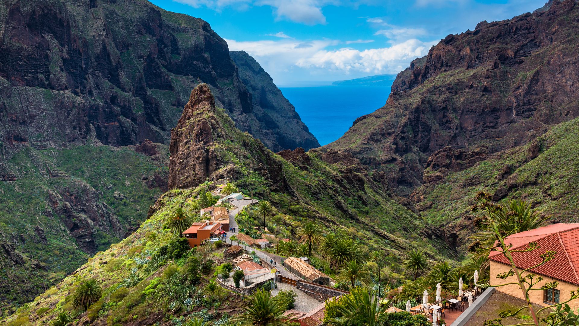
Masca: the most visited village in Tenerife
The hamlet of Masca is, without a doubt, the most photographed place in the municipality. Nestled in a deep ravine at 600 meters altitude, its stone houses cling to the slopes among palm groves and cliffs. The views from the viewpoint before descending into the village are spectacular.
The Masca trail connects the hamlet with the Masca Beach, a cove of volcanic stone accessible only by foot or by boat. The route is demanding but very popular. Reservations are necessary in advance, as access is limited. Before descending, the CanariasLife webcams allow you to check visibility and conditions in the ravine.
Teno Point: the end of the island
The Teno Point is the westernmost point of Tenerife. Its red and white lighthouse marks the place where the land ends and the open Atlantic begins. From here, you can see the cliffs of Los Gigantes to the south and, on clear days, the silhouettes of La Gomera and La Palma on the horizon.
Car access is restricted at certain times. However, there is a bus from Buenavista that goes down to the point. It's a good plan to combine a swim in its crystal-clear coves with a sunset over the ocean.
Teno Rural Park and hiking
Buenavista del Norte is the main gateway to the Teno Rural Park, one of the oldest natural spaces in Tenerife and a refuge of biodiversity with numerous endemic species.
The trails cross deep ravines, forests of laurisilva and volcanic landscapes. Besides the Masca route, the paths of El Palmar and Los Carrizales, less known but equally spectacular, are worth exploring. In the high areas, the sea of cloudsis common, so the webcams help decide if the day is clear for walking.
Buenavista Golf
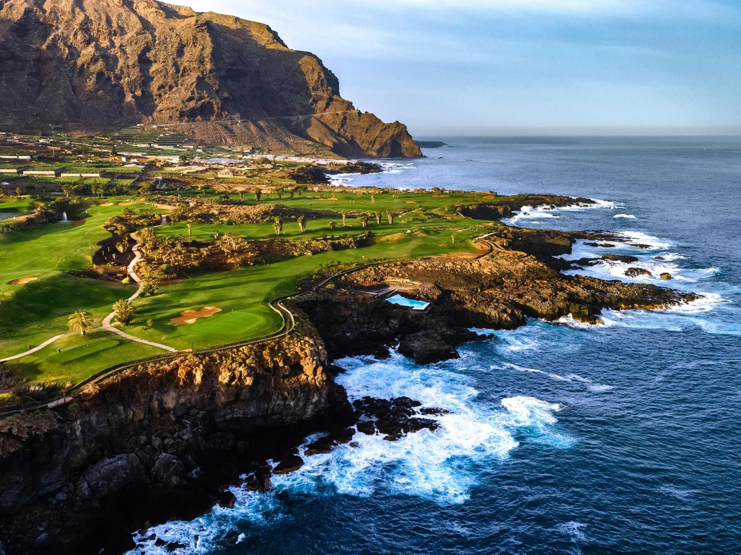
The Buenavista Golf, designed by Severiano Ballesteros, is located on the edge of the cliffs with views of the ocean. It is considered one of the courses with the best scenery in Canary Islands. The CanariasLife webcam shows live conditions on the course and the state of the sea next to the greens.
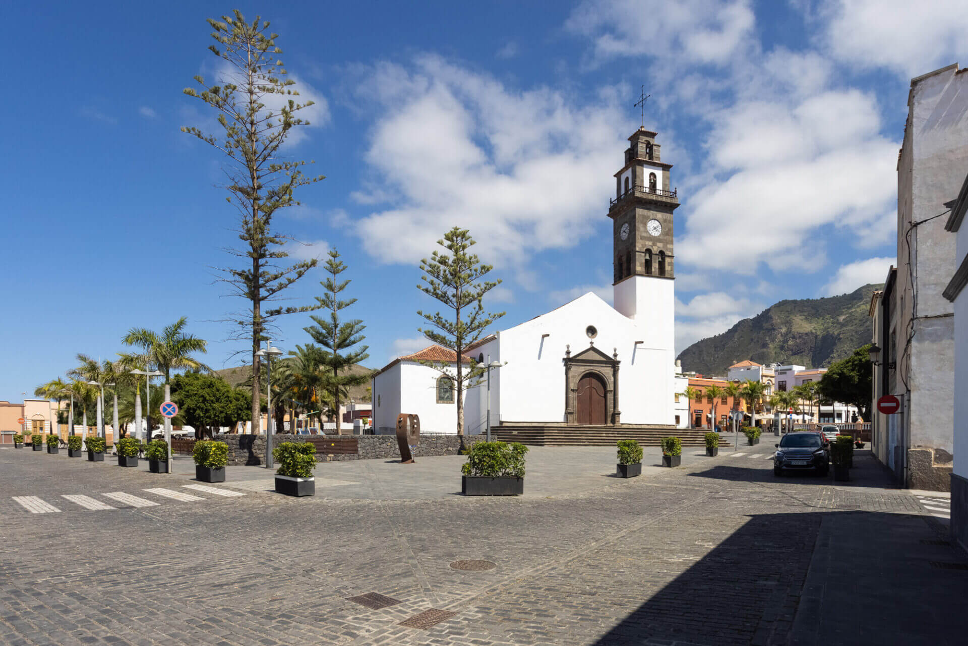
Historical center and gastronomy
The town of Buenavista has one of the best-preserved historical centers in the north of TenerifeThe Iglesia de Nuestra Señora de los Remedios overlooks the main square, surrounded by stately houses and quiet streets.
Regarding gastronomy, the municipality stands out for its fresh fish, garden products, and the wine with Denomination of Origin Ycoden-Daute-Isora. The local taverns serve wrinkled potatoes with mojo, scalded gofio and local pastries. In fact, the pastry shop in Buenavista is a must-stop.
How to get to Buenavista del Norte
From Santa Cruz de Tenerife, Buenavista is an hour and a half via the TF-5 and TF-436. From the south of the island, the route is similar via the TF-1 and TF-82.
There are also TITSA buses that connect Buenavista with Icod de los Vinos and Puerto de la Cruz. To visit Masca and the Teno Point it is advisable to go by car or local buses, as access is regulated.
Frequently asked questions about Buenavista del Norte
How to visit Masca?
The hamlet of Masca is located in the municipality of Buenavista del Norte. You can reach it by car via the TF-436 or by bus. To make the Masca trail to the beach, reservations are required in advance, as access is limited. Before going, you can check the conditions with the CanariasLife Webcams.
How to get to Teno Point?
Car access is restricted at certain times. The easiest way is to take the bus from Buenavista del Norte to the point. On clear days, you can see La Gomera and La Palma from the lighthouse.
What hiking routes are there in Buenavista?
The most well-known are the Masca trail (from the hamlet to the beach), the routes through El Palmar and Los Carrizales, and the paths of the Teno Rural Park. It's important to check visibility before heading out, as the sea of clouds is common in the high areas.
What is the weather like in Buenavista del Norte?
The climate varies greatly between the coast and the peaks. The coast usually enjoys sunshine, but in the midlands and in Masca fog and clouds can appear unexpectedly. The CanariasLife Webcams help decide if the day is clear.
Is Buenavista's golf course worth it?
Yes, Buenavista Golf was designed by Severiano Ballesteros and is located on the edge of the cliffs with views of the ocean. It is considered one of the most beautiful courses in Canary Islands.
Are there webcams in Buenavista del Norte?
Yes, in CanariasLife you can see the Buenavista del Norte webcams live, with cameras at Masca, the Masca Ravine and Buenavista Golf.