
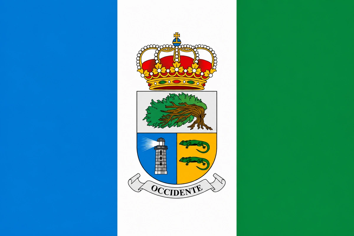
La Frontera live webcams, El Hierro
Valle de El Golfo and La Maceta pools
La Frontera, the green valley of El Hierro
La Frontera occupies the western slope of El Hierro and is the largest municipality on the island. Its territory extends from the summit of Malpaso (the highest point of El Hierro, at 1,501 meters) to the coast of Valle de El Golfo, a natural amphitheater of volcanic origin where crops, natural pools, and most of the municipality's life are concentrated.
In addition, La Frontera it is part of the Biosphere Reserve of El Hierro, which explains the richness of its landscapes: forests of laurisilva, twisted juniper trees by the wind, cliffs, and a volcanic coast with crystal-clear water pools. Thanks to the CanariasLife webcam in La Maceta you can watch live the state of the sea and the conditions of the natural pools before you go.
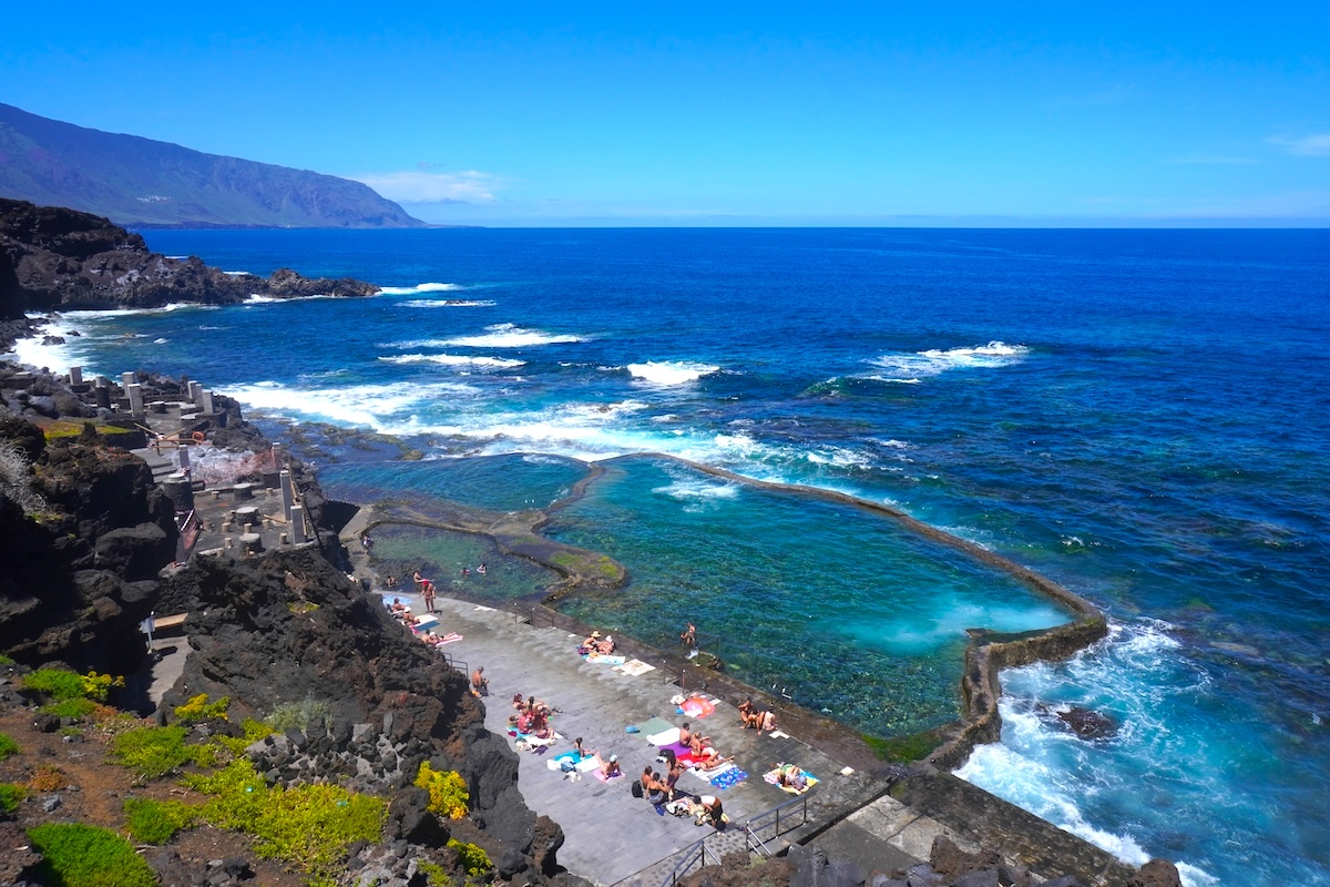
Natural pools of La Maceta
The natural pools of La Maceta are the main bathing spot in La Frontera. They are formed by volcanic rock and fill with Atlantic water, creating pools of crystal-clear water protected from the waves. The complex includes accessible entrances, a solarium, and a resting area.
On the other hand, the Charco Azul, a few kilometers away, is another more sheltered natural pool with intensely blue waters. It is one of the most photographed corners of El Hierro. Both are free and perfect for a peaceful swim at any time of the year.
The Juniper and the unique landscapes of La Frontera
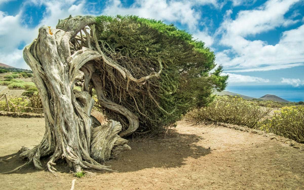
The Juniper is one of the most emblematic places of Canary Islands. It is a forest of juniipers twisted by the trade winds, with shapes that resemble natural sculptures. It is located in the upper area of the municipality, near the chapel of the Virgin of los Reyes.
Also notable are the Arco de La Tosca, a volcanic rock formation shaped like a natural arch by the sea, and the Roque de la Bonanza, a volcanic islet off the coast that is a symbol of the municipality.
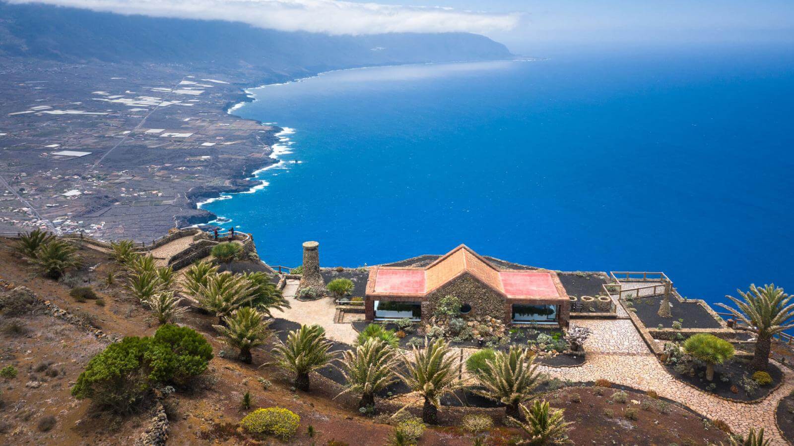
Mirador de la Peña
The Mirador de la Peña, designed by César Manrique, is one of the most spectacular viewpoints of Canary Islands. From here you can see the Valle de El Golfo: the tropical pineapple crops, the white villages, the coast and the Atlantic. The building includes a restaurant with views where you can try Herreño cuisine.
In fact, it's a must-stop for any visitor to El Hierro and one of the last projects by Manrique outside Lanzarote.
Hiking in La Frontera
The municipality is ideal for hiking. The Camino de la Virgen, the longest processional route in Canary Islands, crosses the island from the Sanctuary of Our Lady of the Kings to Valverde. The sections that pass through La Frontera go through forest of laurisilva, pine forests and volcanic landscapes.
Additionally, the Route of the Lookouts traverses the edge of the Valley of El Golfo with stunning views. From the summit of the Malpaso you can see the entire island and, on clear days, the silhouettes of La Palma, La Gomera and Tenerife.
Heritage and nature
The Ecomuseum of Guinea preserves an ancient Herreño village with traditional stone houses. Next to it is the Lagartario, a recovery center for the giant lizard of El Hierro (Gallotia simonyi), an endangered endemic species that only lives on this island.
The Sanctuary of Our Lady of the Kings, in the high area of the municipality, guards the image of the patron Virgin of El Hierro. It is a simple place filled with meaning for the Herreños.
Gastronomy in La Frontera
The local cuisine reflects the rural and maritime character of the municipality. Herreño cheese (a mix of goat, sheep, and cow milk), wrinkled potatoes with mojo, gofio, Herreño stew and fresh fish from the coast are the most representative dishes.
It's also worth trying the Herreño wine, made with native varieties in high vineyards. The tascas of Tigaday, the main nucleus of the valley, are the best place to eat at leisure.
Festivals and traditions
The Bajada de la Virgen de los Reyes is the most important festival of El Hierro. It is held every four years and is a massive procession that travels across the entire island for a month. However, every year there are smaller celebrations in honor of the Virgin that fill the municipality with tradition and festive atmosphere.
How to get to La Frontera
From Valverde (the capital of El Hierro) you reach Tigaday in about 30 minutes via the HI-1. There are buses that connect both municipalities, although with limited frequency.
To get to El Hierrothere are flights from Tenerife Norte and Gran Canaria to El Hierro airport, and a ferry from Los Cristianos (Tenerife) to the port of La Estaca.
Frequently asked questions about La Frontera
What are the natural pools of La Maceta?
They are volcanic rock pools on the coast of La Frontera that fill with water from the Atlantic. They have adapted access, a solarium, and free entry. Next to them, the Charco Azul offers another bathing option with intensely blue waters.
What is El Sabinar?
It is a forest of juniipers twisted by the wind, one of the most emblematic landscapes of Canary Islands. It is located in the high area of La Frontera, near the Sanctuary of Our Lady of the Kings.
What is the Mirador de la Peña?
A viewpoint designed by César Manrique overlooking the Valle de El Golfo. It is considered one of the most spectacular in Canary Islands. It includes a restaurant serving local cuisine.
What is the giant lizard of El Hierro?
It is an endemic species in danger of extinction that only lives in El Hierro. It can be seen in the Lagartario, next to the Ecomuseum of Guinea in La Frontera.
When is the Descent of the Virgin of the Kings?
It is celebrated every four years. It is the most important festival of El Hierro: a procession that travels across the whole island for a month. In the intervening years, there are smaller celebrations.
Is there a webcam at La Frontera?
Yes, in CanariasLife you can see the La Maceta webcam live, with a view of the natural pools and the state of the sea in real time.