
Seismic activity in Tenerife and Teide
the pulse of the volcano, live 24 hours

Every time the ground shakes beneath Tenerife, even if it's a tremor that no one notices, the seismograph records it. On this page, you can follow the seismic activity in Tenerife live through independent monitoring that works day and night: a seismograph, a spectrogram, and a map of earthquakes confirmed by the National Geographic Institute. It's the easiest way to know, in a few seconds, if Teide is calm or if there is movement.
The broadcast belongs to the YouTube channel FiBro, which combines data from a seismological station in the global GSN network with the official catalog from the IGN. When the system detects an increase in activity, a rapid triple beep sounds; when the IGN publishes a confirmed earthquake, usually between ten and twenty minutes later, a single beep sounds. If you also want to see how the volcano is at this moment, the webcam of Teide National Park shows the summit in real-time.
How to read live seismic activity from Teide
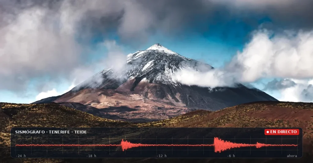
The red and white strip is the seismograph, the true heartbeat of the volcano. While the line remains flat, the ground is calm; the peaks indicate an earthquake or sudden vibration. Just below is the spectrogram, which shows the energy of those vibrations with colors: blue indicates silence, green indicates light vibrations, yellow indicates moderate energy, and red indicates intense activity. On the other hand, the lower part of the graph corresponds to low-frequency vibrations, the deepest ones, while the upper part collects those on the surface and the interferences.
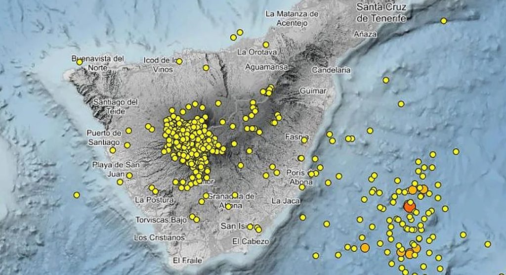
In the map, the color of each point indicates when the earthquake occurred. The purples and blues are the oldest from the shown period, green marks the intermediate area, and orange and red indicate the most recent. This way, a glance is enough to know if the activity is concentrated in one point or if it has shifted in the last few hours.
Earthquakes in Tenerife: what is normal and when to pay attention
Tenerife is an active volcanic island, and small earthquakes are part of daily life. The vast majority are microseisms of very low magnitude that the population does not perceive and only instruments detect. Therefore, an isolated peak on the seismograph should not be a cause for concern: what matters is the trend, that is, if many events appear in a short time or if they change depth or location.
It is also worth remembering that this monitoring is independent and serves to follow the activity, not to interpret it. Official information about volcanic monitoring in the Canary Islands is published by the National Geographic Institute, Involcan, and the Government of the Canary Islands through PEVOLCA, the plan that activates the volcanic traffic light when necessary. In case of any doubt, it is always correct to consult those sources.
Teide volcano, monitored day and night
Teide, at 3,715 meters, is the highest peak in Spain and the center of the volcanic system of Tenerife along with Pico Viejo. The last eruption of the island was that of Chinyero in 1909, and since then monitoring has continuously improved: today dozens of stations register every vibration of the subsurface. Thanks to this, any change is detected much earlier than it might have surface consequences.
To complete the visit, you can peek at the summit from the Teide webcam, discover how the sea of clouds forms in Snowy Teide and sea of clouds or explore all the live cameras in Tenerife.
What everyone asks about earthquakes in Tenerife
Are there earthquakes today in Tenerife?
You can check it in the player on this page: the seismograph moves in real-time and the map shows confirmed earthquakes by the IGN in recent days. If the line is flat and there are no red points, the island is calm.
Do the earthquakes on the map get felt?
Almost never. Most of the earthquakes recorded in Tenerife have very low magnitude, and only the seismographs detect them. Those that the population actually notices are rare, and the IGN points them out in its catalog.
Does an increase in activity mean Teide is going to erupt?
Not necessarily. An active volcano can have periods with more earthquakes without an eruption occurring. The risk assessment corresponds to scientists from the IGN and Involcan and the authorities of PEVOLCA, who are the ones that officially report.
Where does the broadcast data come from?
The seismograph comes from a station of the global GSN seismic network, and the earthquakes on the map are those published by the National Geographic Institute. The broadcast is made by the independent channel FiBro on YouTube.
What should I do if the video doesn’t load?
The broadcast depends on an external channel and can be interrupted. In that case, you can check the latest earthquakes in the Canary Islands directly on the IGN website, linked below the player.