
Live the 7 webcams of the Arona coast


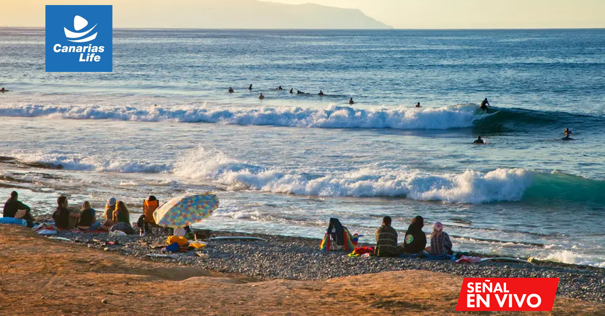


A day along the Arona coast, from Playa de las Américas to Las Galletas, with seven stops and a live webcam at each one. The first part is a walk of about 3.4 km along the promenade, from beach to beach until the port of Los Cristianos; the second goes by car towards the east, to the karting and the fishing village of Las Galletas. Before leaving, explore the route live: click on a stop on the map or activate the automatic route.
The route at a glance
Seven stops from west to east, about 23 km in total. From Playa de las Américas to the port of Los Cristianos, you go on foot along the promenade; for karting and Las Galletas, it’s advisable to use a car or the guagua. The times are approximate: if one beach is full or windy, skip to the next.
| # | Stop | Moment | Ideal for |
|---|---|---|---|
| 1 | Playa de las Américas | 9:00 | Early morning walk in the most vibrant area |
| 2 | Playa del Camisón | 9:45 | Swim in sheltered waters |
| 3 | Playa de Las Vistas | 10:30 | Long beach of golden sand and views of the port |
| 4 | Los Cristianos Beach | 12:00 | Village atmosphere and promenade by the sea |
| 5 | Los Cristianos Bay | 13:00 | Eat in front of the port and watch the ferries leave |
| 6 | Tenerife Karting Club | 16:00 | A round of go-karts, with family or friends |
| 7 | Las Galletas, Marina del Sur | 17:30 | Fishing port, marina, and fish dinner |
Morning: from Playa de las Américas to Las Vistas
The morning starts at Playa de las Américas, the most vibrant area in the south of Tenerife. The entire stretch is flat and is done on foot along the promenade, with the sea always on the right.
1. Playa de las Américas
The route starts at Playa de las Américas, in the Arona area of the large tourist nucleus that shares its name with the beach. At first light, the promenade is quiet and a good time to see the sea before it fills with people.
2. Playa del Camisón
About 1.4 km further south, following the promenade, you reach Playa del Camisón, the southernmost beach of Playa de las Américas. It is sheltered by breakwaters, so the water is usually calm: a good place for the first swim of the day.
3. Playa de Las Vistas
About 870 meters away is Playa de Las Vistas, a beach of about 850 meters of golden sand protected by breakwaters, one of the widest in the south. From the shore, you can see the ferry coming in and out that goes to La Gomera.
Check before you go: open the webcam at Las Vistas mid-morning. In summer it fills up quickly and you'll see if there’s still space near the shore.
Midday: Los Cristianos and its bay
At the end of Las Vistas, the promenade enters Los Cristianos, the old fishing village that is now one of the tourist centers of the municipality. Here is the port and a good offer of restaurants for lunch.
4. Playa de Los Cristianos
About 735 meters you reach Los Cristianos Beach, the beach of the village, with fishing boats on one side and the promenade filled with terraces. On Sunday mornings there is a market on Juan Carlos I avenue, just a few minutes on foot.
5. Bahía de Los Cristianos
The last stop on foot, about 400 meters away, is the Los Cristianos Bay, in front of the port. From here, the ferries from Fred. Olsen and Naviera Armas leave for La Gomera, about a 50-minute crossing, and many excursions to see cetaceans. A good spot to eat while watching the boats.
Check before you go: if you plan to go out by boat in the afternoon, the webcam of the bay will tell you what the sea is like at that moment.
Afternoon: Karting Club Tenerife and Las Galletas
After lunch, it's time to take the car or guagua towards the east. The scenery changes: fewer hotels and a calmer south, with towns and low coast.
6. Karting Club Tenerife
About 10 km from Los Cristianos, next to exit 66 of the TF-1, is Tenerife Karting Club. Its circuit measures about 1,250 meters and has karts for adults and a junior track for the little ones. It offers a free guagua service from various tourist areas.
7. Las Galletas, Marina del Sur
The route ends about 10 km from the karting, in Las Galletas, Marina del Sur. Las Galletas retains its fishing village atmosphere, with a beach sheltered by the port breakwater and the Marina del Sur, with 176 moorings. On Friday mornings there is an artisan market in the marina. Very close is the Malpaís de Rasca, a protected natural space with the Rasca lighthouse.
Check before you go: open the webcam at Las Galletas before leaving the karting: you’ll see if it’s windy in the marina and how the afternoon is for a walk by the port.
Practical tips
- Getting around: on foot along the promenade from Playa de las Américas to Los Cristianos, about 3.4 km in total; afterwards, car or guagua for karting and Las Galletas. From the Los Cristianos guaguas station, there are lines to Las Galletas.
- Where to park: in Playa de las Américas and Los Cristianos parking is better early; next to the port of Los Cristianos there is paid parking. The karting has its own parking and in Las Galletas there is space near the promenade. On the map, zoom in to see parking spaces, guagua stops, and docks.
- Two-day version: Day 1, the five beaches of Las Américas and Los Cristianos at a leisurely pace; Day 2, karting in the morning and the afternoon in Las Galletas.
- What to bring: high sunscreen, comfortable footwear for walking, and swimsuit: the first three beaches are sheltered and good for swimming.
- The webcams, your weather companion: save the Arona webcams page on your phone and check it before each stop.
Common questions
Can the route be done in one day?
Yes. It's about 23 km: 3.4 km on foot along the promenade and the rest by car or guagua. If you want to swim calmly at each beach, it's better to split it into two days.
Which are the best beaches for kids?
El Camisón, Las Vistas, and Los Cristianos: they are protected by breakwaters, have calm waters, and all services along the promenade.
Where do the ferries to La Gomera depart from?
From the port of Los Cristianos, next to the fifth stop of the route. Operated by Fred. Olsen and Naviera Armas, the crossing to San Sebastián de La Gomera takes about 50 minutes.
How do I know if the weather is good before leaving?
Use the live route on this page or open the webcam for each stop. You will see the sky, the state of the sea, and how many people are there at that moment.