
Maspalomas Dunes from Playa del Inglés
Panoramic view from the heights of southern Gran Canaria



Today the dunes and the sea in Playa Del Inglés
👉 What feeling does this place convey to you right now?
The Pulse reflects how this place is perceived at the moment.

Perfect day

Very windy

Rough sea

Very calm

Ideal for a walk

Variable day
Webcam Playa del Inglés from above: panoramic view of southern Gran Canaria
The webcam on this page broadcasts from the upper terrace of a seafront building on the Dunes of Maspalomas. The framing shows the dunes across their full extent, the palms that mark the perimeter and the Atlantic closing the horizon. Also, the sky of the south of Gran Canaria is almost always clear, which ensures a sharp image for much of the day. In short, it’s one of the most open and clean views along the entire southern coast of the island.
Thanks to this elevated perspective you can take in the scale of the dune landscape and the color of the sea at a glance. That’s why it’s especially useful before deciding whether to go down to the sand or venture into the dunes. It also lets you see how the light changes throughout the day and anticipate the day’s conditions.
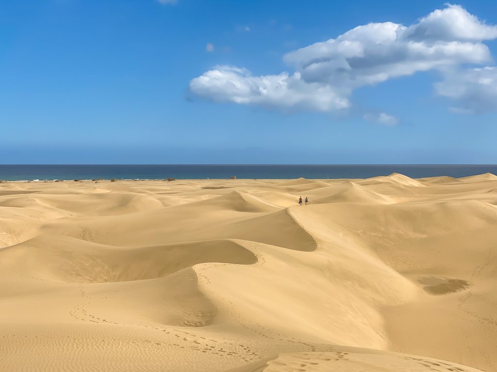
Las Dunas de Maspalomas from Above: What the Webcam Shows
From the ground the dunes look like a wall of sand; from this height, though, they reveal themselves as a sea of crests that change shape with the wind and colour with the light. In the early hours shadows trace every ripple, at midday the sand turns almost white, and in the afternoon it regains golden tones.
That’s why the webcam is useful before heading into the reserve. It lets you see if the trade wind is blowing, lifting sand from the crests and making the walk uncomfortable, or if there’s calima on the horizon. Also, on calm days you can clearly make out the shoreline and the colour of the sea in the background.
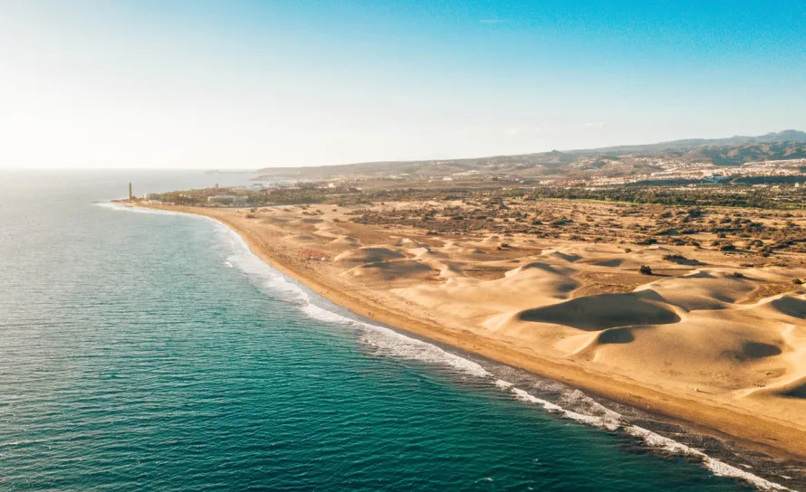
The area around Playa del Inglés in San Bartolomé de Tirajana
The webcam is located at the end of Playa del Inglés that borders the dunes, just steps from the access points to the reserve and the beach. The immediate area offers a very complete range of services: Canarian restaurants, shops, shopping centres and bus connections to Maspalomas, Las Palmas and the airport. For that reason the webcam becomes an everyday resource for people staying in the area. Just watching it for a few minutes is enough to decide whether to go down to the beach, stroll along the seafront or take an inland excursion.
San Bartolomé de Tirajana and southern Gran Canaria from this perspective
The elevated view of this webcam frames not only the beach but also the transition to the natural area. Specifically, from this angle you can clearly see the boundary between the built-up area and the Dunes of Maspalomas, a protected natural reserve and one of the most unique landscapes of the Canary Islands. Also, on the clearest days the horizon stretches out to the open Atlantic.
For its part, the south of Gran Canaria The area has an especially mild microclimate. Temperatures rarely drop below 18°C in winter and a sea breeze softens the warmest months. Likewise, the camera helps spot days with calima, when suspended dust dyes the sky ochre, and to see when the clear midday light returns.
What to see and do near Playa del Inglés
From this area of San Bartolomé de Tirajana There’s much more to explore. For example, the village of Fataga, half an hour by car inland, is a highly recommended escape: white houses, centuries‑old palm groves and a rhythm completely different from the coast. It’s also worth visiting Roque Nublo or the historic centre of Las Palmas de Gran Canaria for an inland day trip.
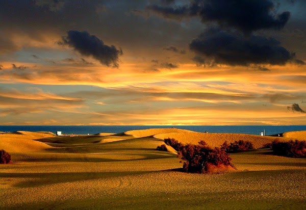
For those who prefer to stay close to the beach, the shoreline that links, Playa del Inglés with Maspalomas is one of the longest and most spectacular walks in the Canary Islands, with the dunes on one side and the Atlantic on the other. Walking it at sunset is especially pleasant, when the light turns golden and the Atlantic horizon takes on intense hues. At that moment, the webcam shows exactly how the color of the beach changes as the sun sets.
Frequently asked questions about this Playa del Inglés webcam
What can you see on this webcam?
The Maspalomas dunes, the stretch of Playa del Inglés and the Atlantic in the background. On clear days visibility is excellent, allowing you to appreciate the sea conditions and the quality of the light.
Is it useful for planning a visit to the beach?
Yes. From a higher vantage point the swell and wind are easier to see than at ground level. That’s why combining it with the local weather forecast gives a very complete view of the day.
How to get to Playa del Inglés from Gran Canaria Airport?
The airport is about a 20-minute drive via the GC-1. In addition, Global buses connect the airport with Playa del Inglés at regular intervals throughout the day.
What's near this area of Playa del Inglés?
Within walking distance you'll find beach access, the seafront promenade, restaurants and las Dunas de Maspalomas. In short, Playa del Inglés is one of the most complete tourist hubs in the south of Gran Canaria.
