
What to see in Arafo, Tenerife
The town of music, in the Güímar Valley
Arafo Tenerife, the village of music in the Valley of Güímar
Arafo is a small and quiet municipality in the southeast of Tenerife with a very marked identity: it is known throughout the island as the Village of Music, thanks to its numerous bands, parrandas, and folk groups. Its territory descends from the 2,076 meters of Mount Ayosa — at the foothills of the Teide National Park — to the coast, passing through volcanic landscapes, ravines with endemic flora, and cultivated terraces. Additionally, its history is directly shaped by the eruption of the Volcano of the Sands in 1705, which destroyed part of the village and reconfigured the territory. You can check the live cameras in Tenerife to see the weather conditions on the island.
The Volcano of the Sands and the volcanic landscape
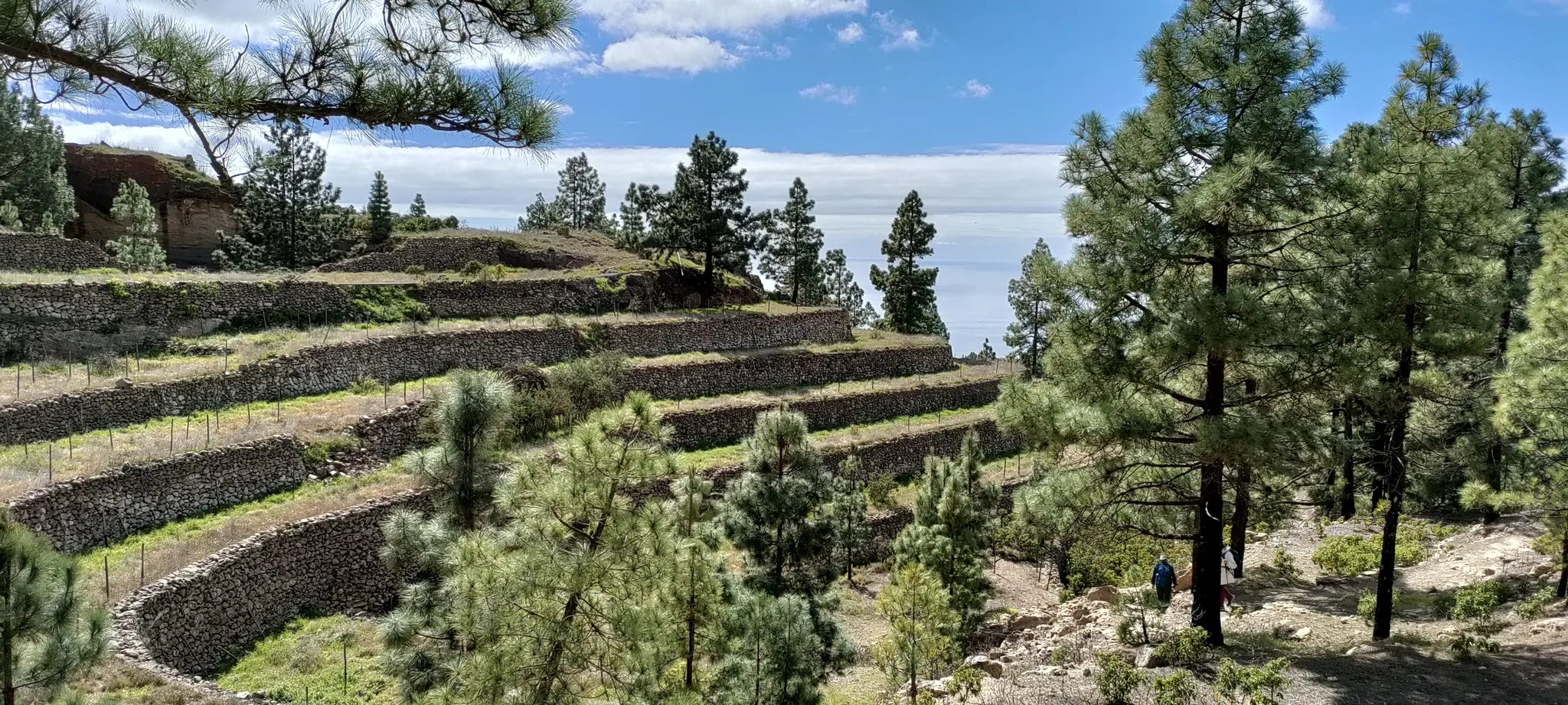
The Volcano of the Sands — also called Volcano of Arafo — erupted between February and March of 1705, for almost two months. The lava flow destroyed part of the urban area and a lot of farmland, which forced the inhabited core to be moved northward. Today, the volcano dominates the landscape of the high terraces of the municipality and can be accessed on foot via a hiking route that ascends from the area of El Pinalete. The route combines sections of cement track, paths of volcanic gravel, and Canary pine forests, with views of the Valley of Güímar and the Atlantic.
The Caldera of Pedro Gil, which houses the volcanic structure, is a good example of an erosive caldera and has notable landscape and geological value. Additionally, the fertile volcanic land left by the eruption is now the basis of the terrace crops that characterize the municipality's midlands.
The Barranco de Añavingo and nature
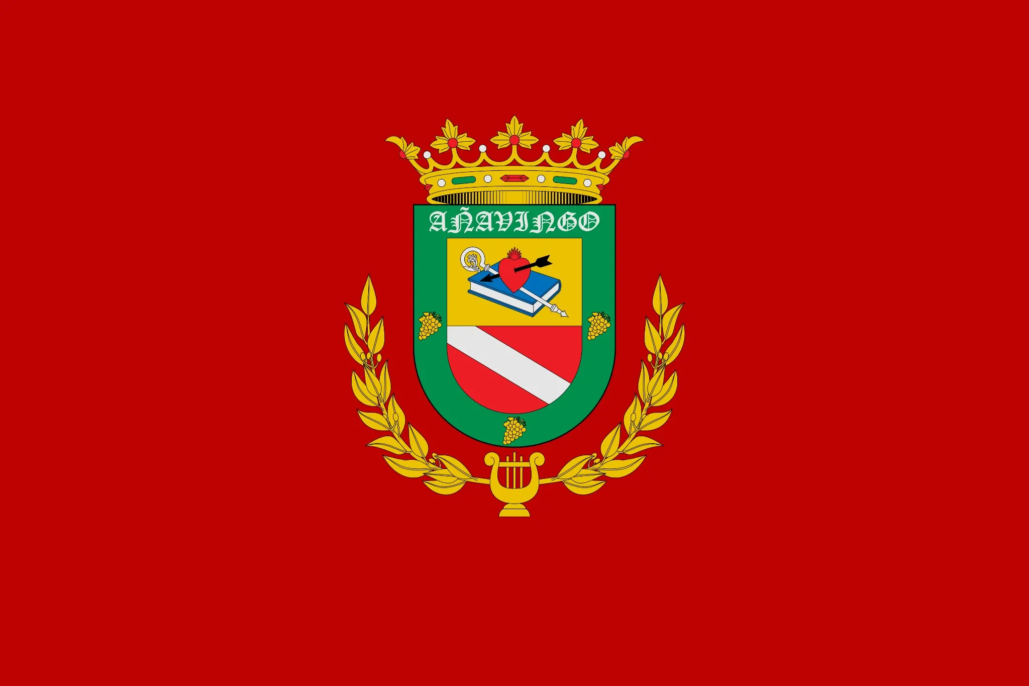
The Barranco de Añavingo is the main hydrographic axis of Arafo and one of the most valuable natural enclaves in the municipality. Declared a space of natural interest, it preserves important samples of native vegetation and endangered plants. Its springs provided water supply for the village for centuries and continue to be an identity element of the municipality — the heraldic shield of Arafo incorporates the word Añavingo as a direct reference to this ravine.
Additionally, the municipality includes part of the Natural Park of the Corona Forestal and the Protected Landscape of the Siete Lomas, both integrated into the Natura 2000 Network. The Siete Lomas are a strip of hills separated by ravines in the midlands of Valley of Güímar, used as farmland and with a very characteristic landscape value. Among the monumental trees of the municipality, the Sabina of Restaurante Los Loros and the Pine of the Lord, both predating the conquest of Tenerife.
The historic center and ethnographic heritage
The centre of Arafo preserves three Cultural Heritage Assets. The best known is the Ethnographic Complex of the Washhouses and the Mill, located on Cuesta del Estanque, declared a Historical Artistic Monument in 1984. It is a public washhouse with washing stones and an old mill that functioned for centuries as a collective infrastructure for the village.
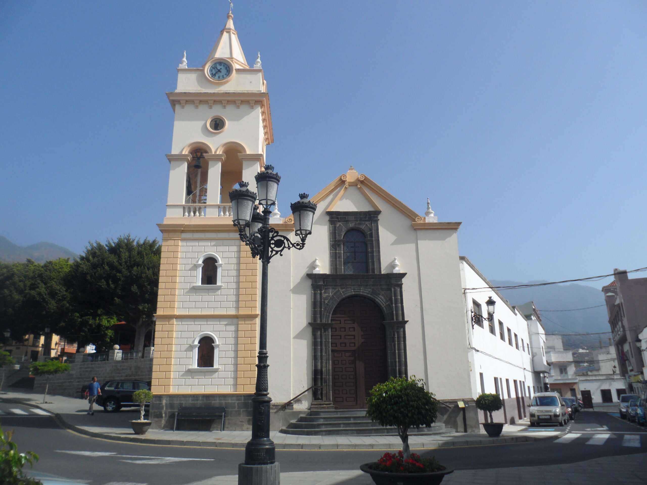
The second BIC is the Historical Site of Lo de Ramos, one of the first settlements of the Augustinian friars in the region and the place where vineyards were introduced in Arafo. The third is the House of the Corner of the Carts, a representative example of the traditional rural architecture of southern Tenerife. On the other hand, the Church of San Juan Degollado, built in the late 18th century, is the most emblematic religious building of the municipality.
The Village of Music and the Romería of San Agustín
Arafo proudly carries the nickname of Village of Music. The municipality has numerous bands, parrandas, and folk groups that participate in island-wide and regional competitions. The Music Bands Contest and the Regional Meeting of Coplas are two of the most important musical events in the cultural calendar of the southeast of Tenerife.
The San Agustín's Pilgrimage, declared of Tourist Interest in 1982, is the most important festival in the municipality. It is celebrated on the last Saturday of August and traverses the streets of the town with decorated carts, parrandas, folk groups, and live music. The origin of the devotion to San Agustín is linked to a miraculous storm in 1751 that uncovered the Añavigo spring, which for centuries was the main water supply for the town. It is, moreover, one of the best-kept pilgrimages in the southeast of the island due to the level of its folk groups.
Gastronomy in Arafo
The gastronomy of Arafo is the Canary Islands' cuisine of the medium lands: honest, made with local products, and unpretentious. The restaurants and tascas of the municipality serve wrinkled potatoes with mojo, vegetable stews, grilled meats, and artisanal cheeses. Likewise, the local wine — produced in the terraces of the medium lands of Valley of Güímar — naturally accompanies any meal. On the other hand, the tradition of viticulture in Arafo has roots in the Augustinian friars who introduced the vine to the municipality in the early years after the conquest.
How to get to Arafo
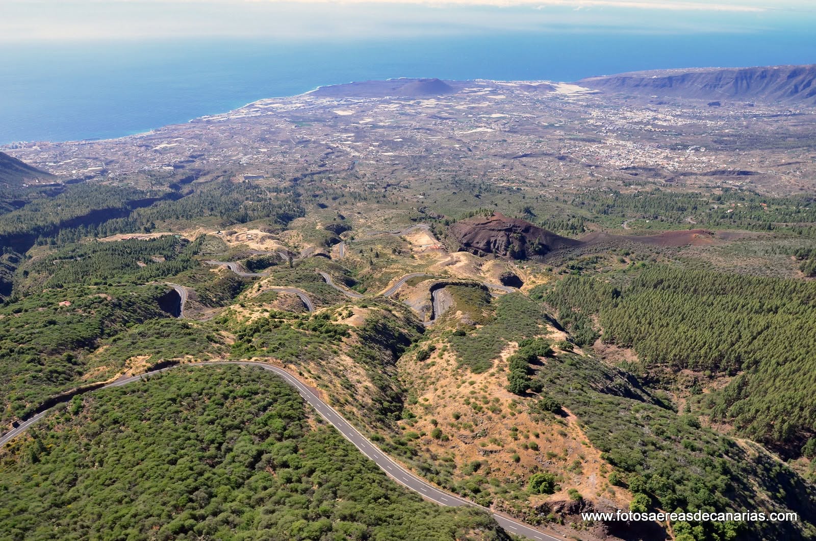
Arafo is in the southeast of Tenerife, about 22 kilometers from Santa Cruz de Tenerife via TF-1 and TF-525 (approximately 25-30 minutes by car). From the Tenerife South Airport it is about 30 kilometers and around 30 minutes. The municipality is only 5 kilometers from Candelaria. By public transport, it is accessed from TF-1 and from Güímar via the TF-525 road.
Frequently Asked Questions about Arafo Tenerife
Why is Arafo called the Town of Music?
Because Arafo it has an unusually high number of bands, parrandas, and folkloric groups for its size. The musical tradition is deeply rooted in the identity of the municipality and is expressed in contests such as Music Bands Contest and the Regional Meeting of Coplas, references of Canarian folklore in the southeast of Tenerife.
When did the Arafo volcano erupt?
The Volcano of the Sands or Volcano of Arafo it erupted between February and March of 1705, for almost two months. The lava flow destroyed part of the urban area and forced the inhabited core to be relocated to the north. Its crater can be visited today on foot via a hiking route from the El Pinalete area.
What is the Barranco de Añavingo?
It is the main ravine of the municipality and a protected natural area with endemic flora and endangered plants. Its springs supplied water to the town for centuries. It even appears in the heraldic shield of Arafo, a testament to its historical and identity importance.
When is the Romería de San Agustín de Arafo?
It is celebrated on last Saturday of August, with decorated carts, parrandas, folkloric groups, and live music through the streets of the town. It was declared of Tourist Interest in 1982 and is one of the most valued romerias for the quality of its folkloric groups in the southeast of Tenerife.
What Cultural Heritage assets does Arafo have?
The municipality has three BIC: the Ethnographic Complex of the Washhouses and the Mill (declared Historical Artistic Monument in 1984), the Historical Site of Lo de Ramos — first Augustinian settlement and the origin of the vineyard in Arafo — and the House of the Corner of the Carts, an example of traditional Canarian rural architecture.
How to reach Arafo from Santa Cruz de Tenerife?
It is about 22 kilometers via the TF-1 highway and the TF-525 road, approximately 25-30 minutes by car. You can also access from Candelaria, just 5 kilometers away, or from Güímar via the TF-525.