
The mystery of the Barranco de Badajoz, in Güímar (Tenerife)
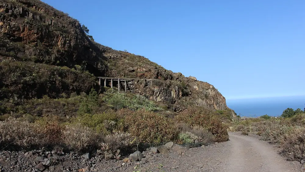
In the southeast of Tenerife, in the municipality of Güímar, one of the best-known —and most talked-about— ravines of the Canary Islands opens up: the Badajoz Ravine. It originates at more than 1,800 meters above sea level, near Izaña, and descends about 9.6 kilometers towards the valley of Güímar; in its middle section, it becomes a canyon with vertical walls.
From Chamoco to Badajoz: a bit of history
The Guanches called this area Chamoco, a name that many locals still use. The current name comes from Juan de Badajoz, a Castilian conqueror who received land here after the conquest of the island in the late 15th century.
On one of its walls, about 100 meters high, is the Cueva del Cañizo, which gets its name from the wooden rods fitted into its ceiling. Guanche mummies have been found there: it was a native burial place.
Since the 19th century, the ravine has been drilled with galleries to capture the water that seeps through the rock, like those of Acaymo or El Almagro, which still supply agriculture in Güímar. Some, like that of Cañizo, are closed due to their dangerousness.
Legends and mystery
The Barranco de Badajoz is famous especially for its legends. For decades, tales of strange lights, luminous spheres, appearances of 'light beings', nocturnal whispers, and even the story of the 'Niña de las Peras', who allegedly disappeared and reappeared years later without aging, have circulated. These are stories with no proven basis, but they have turned the ravine into a classic of Canarian mystery and a destination for guided night walks.
Hiking in the ravine
Beyond the legends, the ravine is a spectacular landscape, with strawberry trees, dragon trees, and abundant endemic flora. The most common route is about 6 kilometers round trip: it is not especially difficult, but it has narrow passages and some sections where you need to climb a bit, so it's advisable to wear good footwear. The upper course of the ravine is part of the Natural Park of the Corona Forestal and the Protected Landscape of the Siete Lomas.
Before you go, check the state of the trails, do not enter the galleries, and avoid the ravine on rainy days due to the risk of landslides. You can see the valley live through our webcams de Güímar.