
Maspalomas, Gran Canaria live
La Charca, the dunes and the Atlantic seen from above



This is how it feels Maspalomas today
👉 What feeling does it give you right now?
The Pulse reflects how this place is perceived right now.

Perfect day

Strong wind

Rough sea

Very quiet

Ideal Promenade

Variable day
Maspalomas webcam: a viewpoint over La Charca and the dunes
Watching Maspalomas live is like looking out over one of Europe's most unique landscapes: a lagoon that reflects the sky, a sea of golden dunes and almost three kilometres of beach open to the Atlantic. At the southern tip of Gran Canaria, the sand, the water and the ocean coexist in a very small area, and from an elevated vantage point it all becomes clear at a glance.
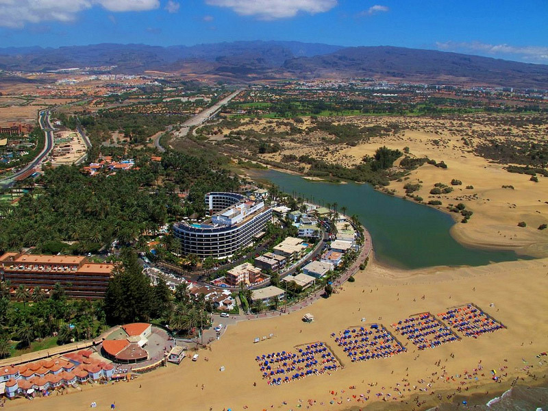
Our webcam streams from high above, next to La Charca, and looks east. In the foreground the lagoon appears with the palms on its shore; behind it the dunes stretch out, and to the right the beach curves toward Playa del Inglés. That's why it's so useful before heading out: in seconds you can tell if it's sunny or cloudy, what the sea is like and how many people are walking along the shore. If you want to see the same dunes from the opposite side, also check the Playa del Inglés and the Dunes webcam.
Maspalomas live from above: La Charca, the dunes and the beach
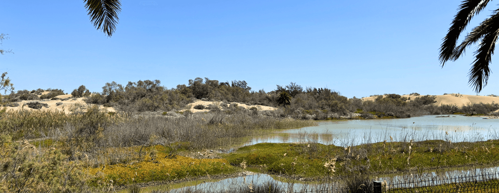
The main subject of the frame is the Charca de Maspalomas, a brackish lagoon formed at the mouth of the Maspalomas ravine. In good light its surface shines like a mirror and follows the movement of the clouds. It's also a stopping place for herons and other migratory birds, which often rest on its banks.
Behind the lagoon the Dunes of Maspalomas, which change shape with the wind and colour with the light. Early in the morning and at sunset the shadows mark every ridge; at midday, by contrast, the sand turns almost white. To the right, the beach extends eastward with golden sand, generally gentle waves and a steady line of walkers along the water.
The Maspalomas Dunes Nature Reserve
Everything you see in Maspalomas live is part of the Special Nature Reserve of the Maspalomas Dunes, protected since 1994. It's about 400 hectares that bring together three very different environments: the dune field, La Charca and the Palmeral or Oasis, a grove of Canarian palms beside the lagoon. Thus, even though it's surrounded by hotels and apartments, the area retains a natural character unusual for a major tourist destination.
The sand is marine in origin: the trade winds push it in from the coast and continually shape it. To protect the ecosystem, access into the interior of the dunes is limited to marked paths, and the fences visible in the image mark those areas. It's also advisable not to climb the crests or take sand away, because the dune system is fragile and loses volume over the years.
What to see near Maspalomas, outside the webcam's frame
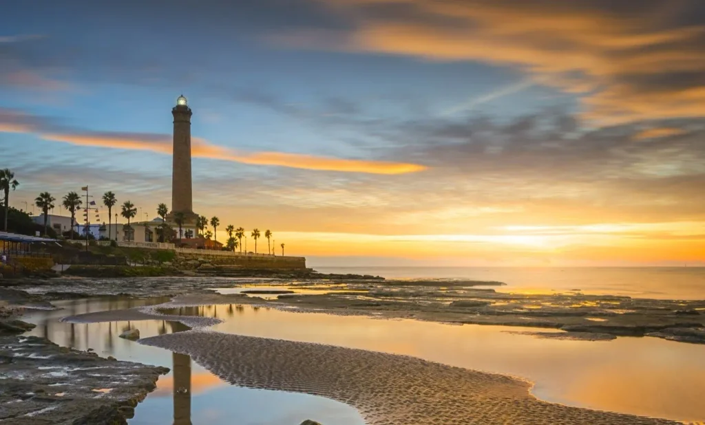
A few minutes' walk away, though outside the picture, stands the Maspalomas Lighthouse, the great symbol of the island's south. It was built between 1861 and 1890, stands 56 metres tall and was declared a Bien de Interés Cultural in 2005. Next to it begins the Paseo de Meloneras, a pedestrian seafront promenade full of terraces, restaurants and shops, ideal for an evening stroll.
To get there from Gran Canaria airport just follow the GC-1 south to the Maspalomas exit, in about thirty minutes. Also, Global's line 30 connects Las Palmas de Gran Canaria with Maspalomas frequently throughout the day.
Before going to Maspalomas: questions and answers
What does the Maspalomas webcam show?
La Charca in the foreground, the dunes behind and the beach stretching toward Playa del Inglés, all from an elevated position. It's useful for checking the light, the clouds and the sea conditions in real time.
Can you see the Maspalomas Lighthouse on the camera?
No. The lighthouse is behind the camera, to the west, a few minutes' walk from the area shown in the image.
What is La Charca de Maspalomas?
It's a brackish lagoon at the mouth of the Maspalomas ravine, surrounded by palm trees and frequented by migratory birds. It's part of the Special Nature Reserve of the Maspalomas Dunes.
Can you walk on the dunes?
Yes, but only on marked paths. Outside them access is restricted to protect the ecosystem.
Is Maspalomas beach good for families?
Yes. It has fine sand, generally gentle waves and facilities. The calmest area is near the lighthouse; to the east, among the dunes, there is a naturist area.
When is the best time to visit Maspalomas?
You can visit year-round thanks to its mild climate. The high season runs from October to February, so it's worth checking the webcam before you go to see current conditions.
After watching Maspalomas live, if you want to keep exploring the south of the island live, check the Playa del Inglés and the Dunes webcam, the one for San Agustín Beach or all the live cameras in Gran Canaria.
