
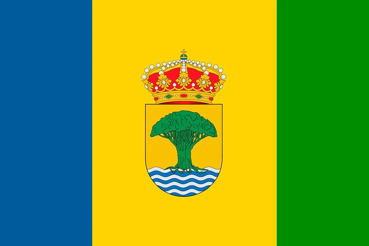
Live webcams from Alajeró, La Gomera
Playa Santiago and the airport of La Gomera
Alajeró, the tranquil south of La Gomera
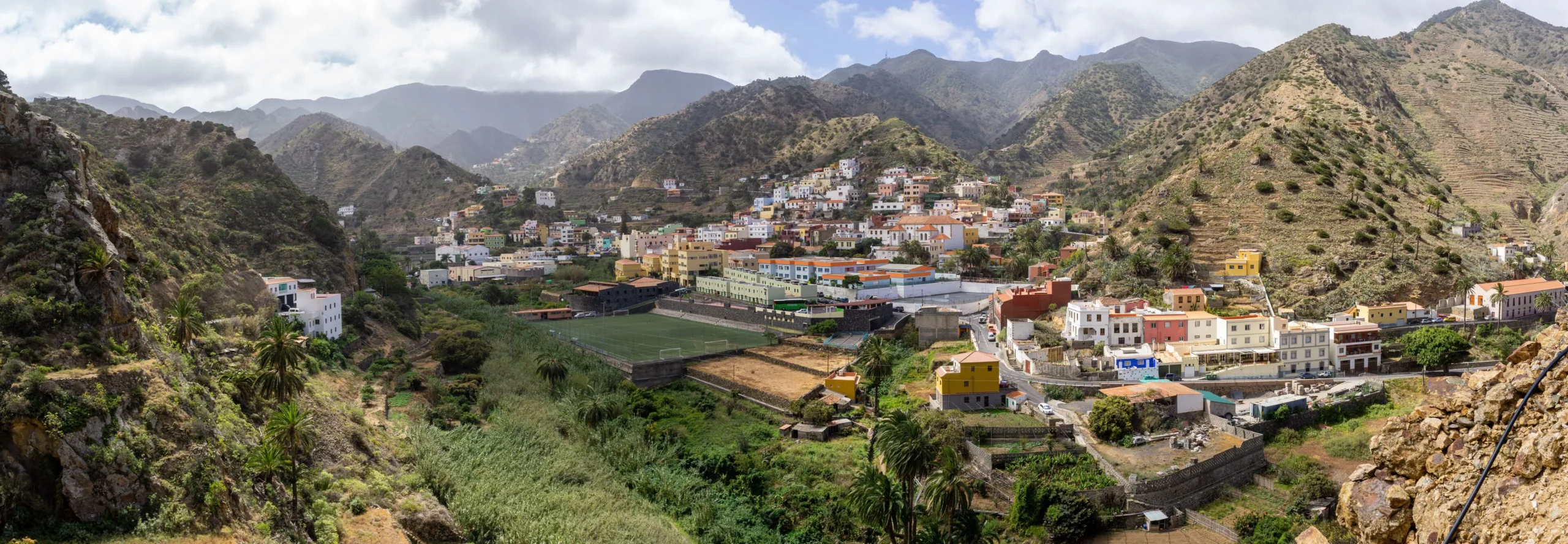
The municipality of Alajeró is the largest in La Gomera and one of the least crowded in Canary Islands. Located on the southern slope of the island, its territory extends from the peaks of Garajonay National Park to the coast of Santiago Beach, passing through deep ravines, palm groves, and stone settlements that preserve the rural essence of Gomera.
In addition, it is the area with the most hours of sunshine in La Gomera, and you can tell: while the north can be covered with clouds, Alajeró usually enjoys sunshine. That's why it's a good place to start getting to know the island or to relax without hurry.
Hiking in Alajeró
Alajeró is known as "the southern trail" and it's no coincidence. In fact, its paths connect the summit with the sea through spectacular ravines. There are two hiking trails must-see trails:
First of all, the Imada trail, which descends among palm groves to one of the most isolated and beautiful settlements in La Gomera. On the other hand, the descent through the Erques ravine offers views of the cliffs and the ocean that compel you to stop every few meters.
Both paths start from areas near the Garajonay National Park, so it's common to combine the laurisilva forest with the coast in a single day.
Playa Santiago: fishing village with guaranteed sun
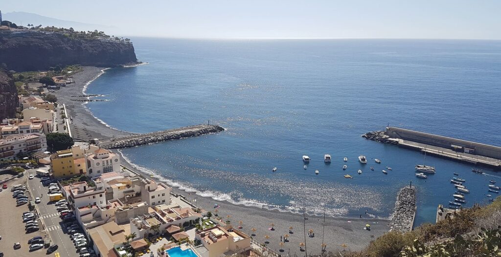
Santiago Beach is the coastal hub of Alajeró and also the most populated in the municipality. What used to be a fishing village still maintains a quiet pace: small port, restaurants with fresh daily fish, and a promenade by the sea without crowds.
In addition, it is the most accessible area of the municipality, as it is only 10 minutes by car from the La Gomera airport. If you arrive by plane from Tenerife or Gran Canaria, Playa Santiago is the first place you can visit.
Thanks to the CanariasLife webcam in Playa Santiago, you can see live the state of the sea in the port, the waves, and the weather conditions. It is particularly useful to check if the day is clear before heading down to the coast or planning a day of swimming or snorkeling.
Viewpoints and heritage
Without a doubt, the Mirador de Igualero offers one of the widest panoramas of La Gomera: the natural monument of La Fortaleza in the foreground, and on clear days, the silhouettes of El Hierro and La Palma on the horizon.
Meanwhile, in the center of Alajeró, at 800 meters above sea level, it is worth visiting the Church of the Savior, from the 16th century, with a sculpture of the Crucified Christ that is one of the oldest on the island. Near the town is also the Drago de Agalán, a centenary specimen on the mountain of El Calvario.
In addition, the Cliffs of Alajeró, declared Site of Scientific Interest, host protected endemic species and are a nesting area for the osprey. South of these cliffs is the Natural Monument of La Caldera, one of the most recent examples of volcanism in La Gomera.
Gastronomy in Alajeró
The cuisine of Alajeró is deeply rooted in Gomera. The almogrote (cheese paste with peppers and garlic) and the palm honey are two products that define the gastronomy local cuisine. Being on the coast, the fresh fish dominates the menus: fried old, cherne, or moray eel with wrinkled potatoes and mojo is what you will find in the restaurants of Playa Santiago.

How to get to Alajeró
The fastest way is by plane: the La Gomera airport is in the municipality of Alajeró itself, 10 minutes from Playa Santiago, with daily flights from Tenerife Norte and Gran Canaria.
You can also arrive by ferry from Los Cristianos (Tenerife) to San Sebastián de La Gomera, and from there it is about 30 minutes by car along the TF-713 to Alajeró.
If you are already on the island, the GM-1 road connects Alajeró with the other municipalities of La Gomera.
Frequently asked questions about Alajeró
Where is Alajeró?
On the southern slope of La Gomera, in the province of Santa Cruz de Tenerife. Its urban area is located about 800 meters above sea level, but the municipality extends to the coast at Santiago Beach.
What is the weather like in Alajeró?
Alajeró is the sunniest area of La Gomera. The south of the island has fewer clouds and more hours of sunshine than the north. You can check it live with the Playa Santiago webcam.
What to see in Alajeró in a day?
The Mirador de Igualero in the morning, the Imada trail or Erques ravine, and finish in Santiago Beach with a swim and fresh fish. If you have time, the Drago de Agalán and the Church of the Savior in the town center.
Can you fly to La Gomera?
Yes, the La Gomera airport is in Alajeró, with daily flights from Tenerife Norte and Gran Canaria. It is 10 minutes by car from Santiago Beach.
Is there a webcam in Alajeró?
Yes, in CanariasLife you can see the Playa Santiago webcam live, with a view of the harbour and the state of the sea in real time.