

What to see in Puntallana, La Palma
Playa de Nogales and the northeast coast
Puntallana La Palma, from laurisilva to wild beaches in the northeast
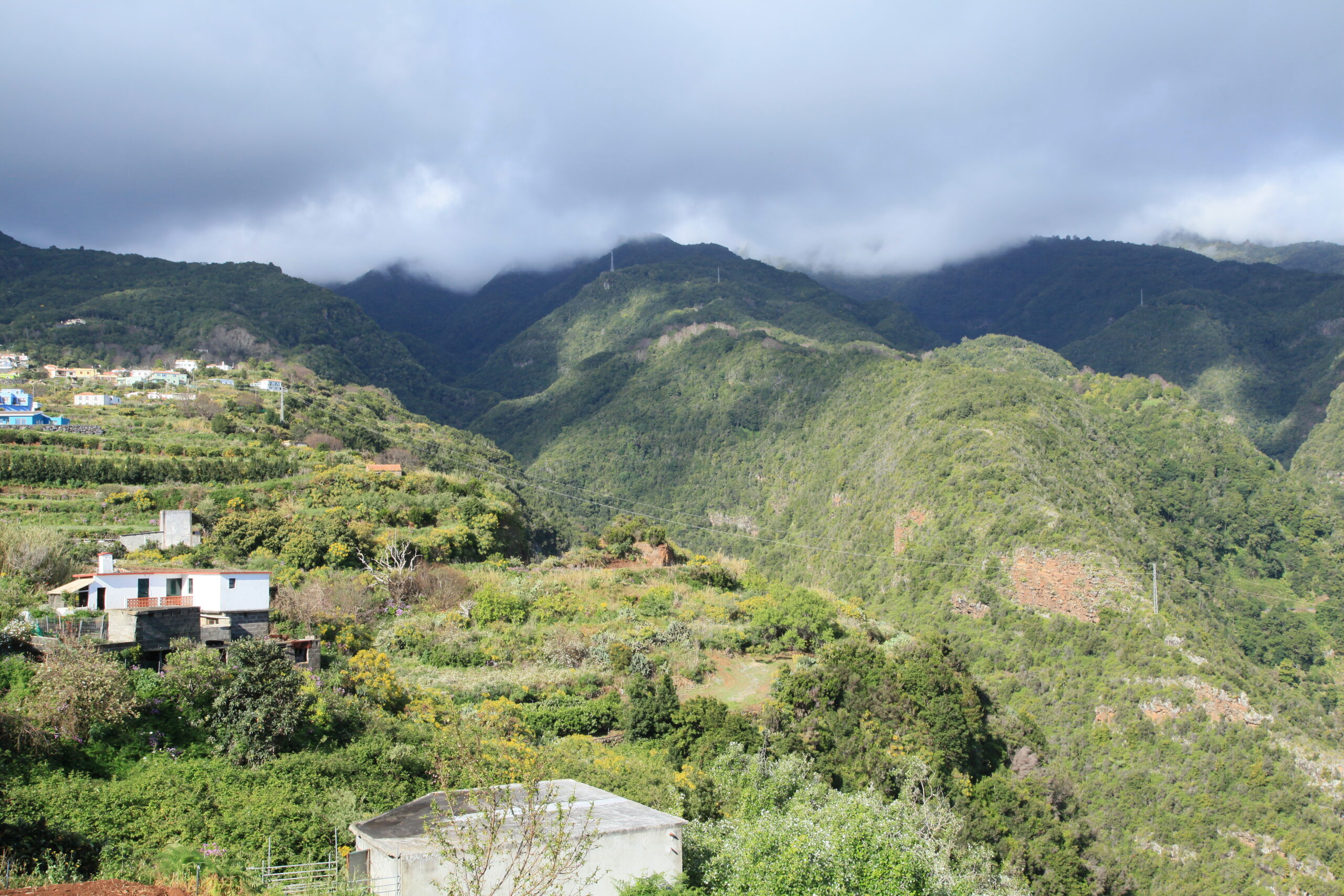
Puntallana is on the eastern side of La Palma, between Santa Cruz de La Palma and San Andrés y Sauces. Its territory descends from sea to peak in a triangle of fertile land with deep ravines, centuries-old laurisilva and a coastline of wild black-sand beaches. The municipality is small and quiet, making it ideal for those seeking nature, hiking and rural Palma life without crowds. Its night sky, from the Mirador del Salto del Enamorado, is also one of the clearest on the island. Check the Live cameras of La Palma and check the weather in real time.
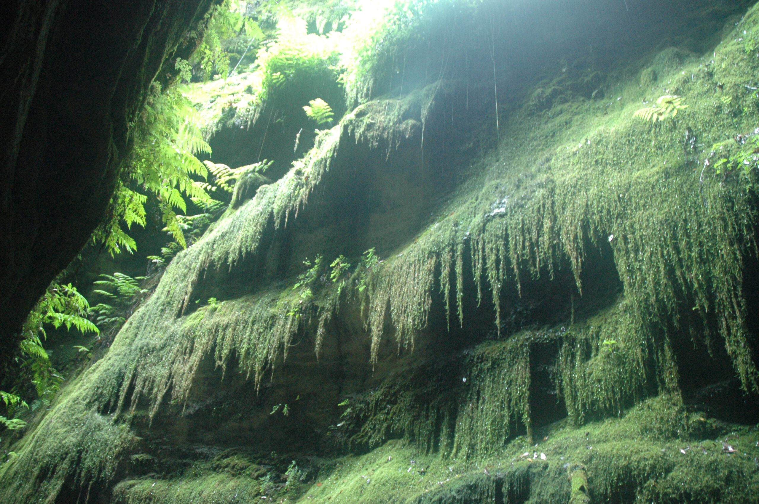
The Cubo de La Galga
The Cubo de La Galga is the great natural treasure of Puntallana and one of the most spectacular laurisilva forests in La Palma. It sits in the Barranco de La Galga, in the northeast of the municipality. Laurisilva grows there from 200 to 790 metres above sea level, forming a dense, evergreen forest of laurels, viñátigos, tilos, acebiños and ferns covering the ravine walls. The Cubo trail is of low difficulty and offers two options: a circular route of about 5 kilometres taking roughly two hours, or a longer 12-kilometre route to the Mirador de La Somada Alta, at 790 metres above sea level.
Because of this, the Cubo de La Galga is one of the most recommended trails on the island for those seeking nature without much effort. In addition, from the Mirador de La Montaña de La Galga, halfway along the longer route, the views over the ravine and the northeast coast are spectacular. The trail also connects with the GR-130, the great long-distance route across La Palma.
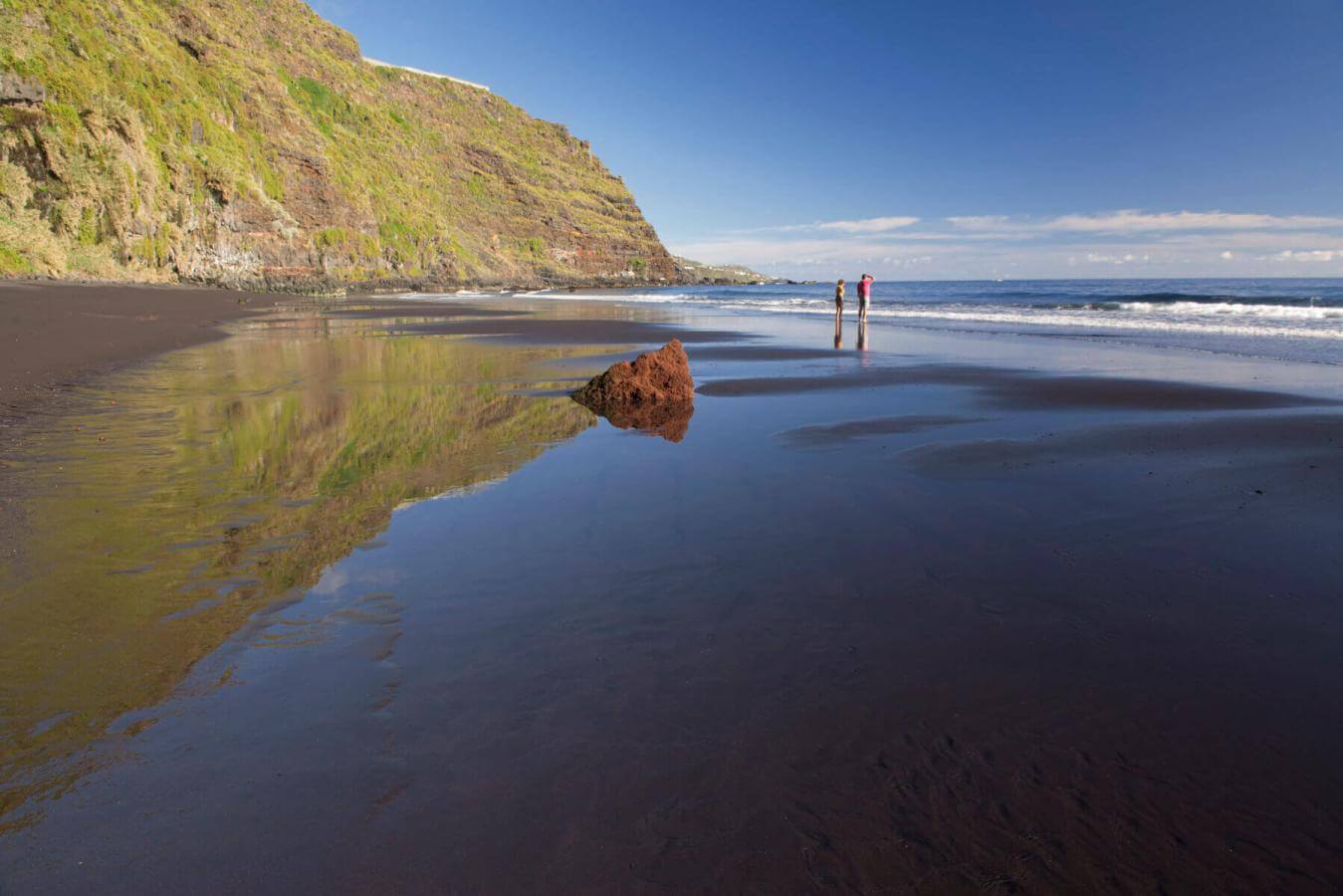
The Playa de Nogales
The Playa de Nogales is the best-known beach in Puntallana and one of the wildest in eastern La Palma. It is a black-sand beach with difficult access — you have to walk down a steep trail from the road — which keeps mass tourism away and makes it a much-loved spot for those who know it. Its waters are clean, and the black cliffs surrounding it create a setting of great natural beauty. However, the swell can be strong, so sea conditions should be checked before swimming.
The Cala de Martín Luis and the Playa de Puerto Trigo are two quieter alternatives on the municipality's coast, less frequented and with difficult access, but with very clean waters and equally attractive volcanic surroundings.
Casa Luján and the historic centre
Puntallana holds one of the most interesting historic heritages among the small municipalities of La PalmaThe Casa Luján is the most notable building: a colonial mansion from the late 17th century that today houses the municipality's Ethnographic Museum and the Centro de Promoción de Venta de Artesanía. Its rooms recreate scenes of everyday life from the colonial era with original furniture, textiles and objects. Meanwhile, the Iglesia de San Juan Bautista, declared Cultural Heritage of Interest, is the historic centre's religious and architectural focal point. Inside it holds the oldest equestrian statue of Santiago Apóstol in the Canary Islands and a Baroque altarpiece of great value.
In addition, the small Ermita de Santa Lucía — considered the oldest dedicated to that saint in Canary Islands — and the Hermitage of San Bartolomé, next to the Barranco de La Galga, are two brief but very interesting visits within the municipality's heritage.
The Mirador del Salto del Enamorado and astrotourism
The Mirador del Salto del Enamorado, at 439 metres above sea level, is the municipality's most popular observation point. From there you can see the northeast coast of La Palma and, on clear days, the neighbouring islands. A statue also recalls the legend of a young couple who, according to tradition, threw themselves from this crag.
Additionally, from this same viewpoint you can enjoy one of the clearest night skies in the municipality. Puntallana is part of the island of La Palma, declared Starlight Reserve and Starlight Tourist Destination for the quality of its night sky. It is therefore a regular spot for stargazing, especially on moonless nights.
The Romería de San Bartolomé
The Romería de San Bartolomé is the municipality's most important festival and one of the liveliest in the northeast of La Palma. It is held in late August and residents parade through the streets in traditional Palma costumes, carrying baskets with local produce: escacho, chicharrones, marquesotes, almendrados and island wine. In addition, the farmers market, held Saturdays and Sundays from 9:00 to 14:00 in the Plaza de San Juan, offers fruit, vegetables, honey, goat cheeses, mojo and local pastries year-round.
Gastronomy in Puntallana
The cuisine of Puntallana is simple Palma cooking made from local produce. The municipality's restaurants serve wrinkled potatoes with mojo palmero, fresh fish from the Atlantic, carne fiesta — a typical dish of Palma romerías —, vegetable stews and traditional pastries. The marquesotes and the almendrados are the most sought-after sweets. In addition, wines from small local wineries and honey from the municipality's beehives round out a very locally sourced offering.
How to get to Puntallana
Puntallana is about 10 kilometres from Santa Cruz de La Palma via the LP-1 road (approximately 15 minutes by car) and about 18 kilometres from the La Palma Airport. By public transport, the line 100 of TILP connects Santa Cruz de La Palma with Puntallana and continues to Barlovento, with several daily departures. To reach the Cubo de La Galga and the Playa de Nogales a private car is recommended, as the trailheads and the beach are somewhat far from the main village. Also check the Live cameras of La Palma to help you navigate the island.
Frequently asked questions about Puntallana La Palma
What is the Cubo de La Galga?
It is a spectacular forest of laurisilva in the Barranco de La Galga, within the municipality of Puntallana. The low-difficulty trail has a circular version of about 5 kilometres and a longer one of 12 kilometres to the Mirador de La Somada Alta. It is one of the best laurisilva forests in La Palma and of all Canary Islands.
How do you get to the Playa de Nogales?
From the LP-1 road there is a signposted turn-off to the beach. From the car park, a steep trail descends to the black sand in about 15-20 minutes on foot. The difficult access keeps the beach quiet and uncrowded. The swell can be strong, so it's worth checking sea conditions before swimming.
What is the Casa Luján in Puntallana?
It is a colonial mansion from the late 17th century that houses the Ethnographic Museum and the Centro de Venta de Artesanía. Its rooms recreate scenes of Palma life from the colonial era with original furniture and objects. It is the municipality's most complete cultural visit.
What is the Mirador del Salto del Enamorado?
It is a viewpoint at 439 metres above sea level in Puntallana, with views of the northeast coast of La Palma. Besides the daytime views, it is a regular spot for star observation thanks to the island's clear sky, declared a Starlight Reserve.
When is the Romería de San Bartolomé in Puntallana?
It is held in late August, with a parade of residents in traditional Palma costumes and baskets of local produce. It is the municipality's most important festival and one of the liveliest in the northeast of La Palma.
How do you get to Puntallana from Santa Cruz de La Palma?
It's about 10 kilometres via the LP-1 road, approximately 15 minutes by car. By bus, the line 100 of TILP departs from Santa Cruz de La Palma with several daily services and stops in the municipality before continuing to Barlovento.