
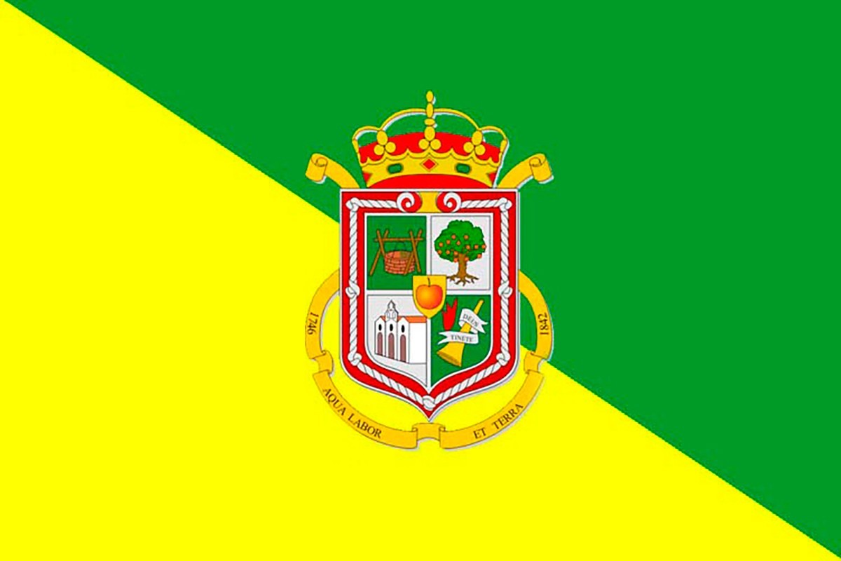
What to see in Valleseco, Gran Canaria
Laurisilva, apples and highland cider
Valleseco Gran Canaria, the humid valley that belies its name
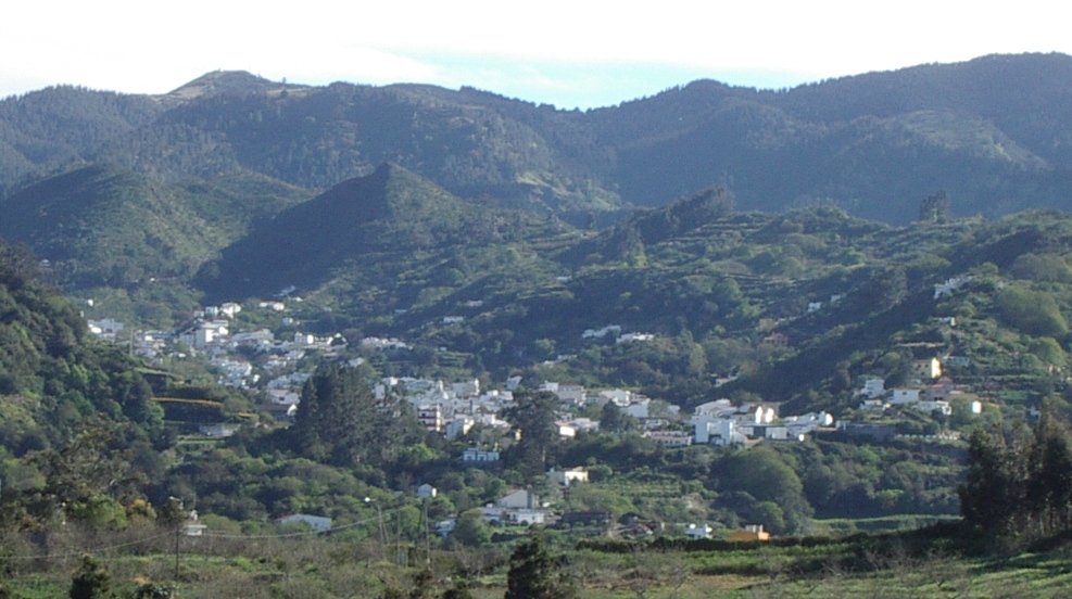
Valleseco literally means 'dry valley', but it is actually one of the wettest and greenest municipalities in Gran Canaria. Located about 1,000 meters above sea level in the north of the island, its territory is shrouded in mist for most of the year from the trade winds, which provide constant moisture and generate lush vegetation. Therefore, the 80% of its surface is designated as a Protected Natural Space, and a large part belongs to the Doramas Rural Park, the great laurisilva refuge in the north of Gran Canaria. Additionally, it is the youngest municipality on the island, having become independent from Teror in the late 19th century. Check the webcams of Gran Canaria and check the weather before visiting.
The Doramas Rural Park and Barranco de la Virgen
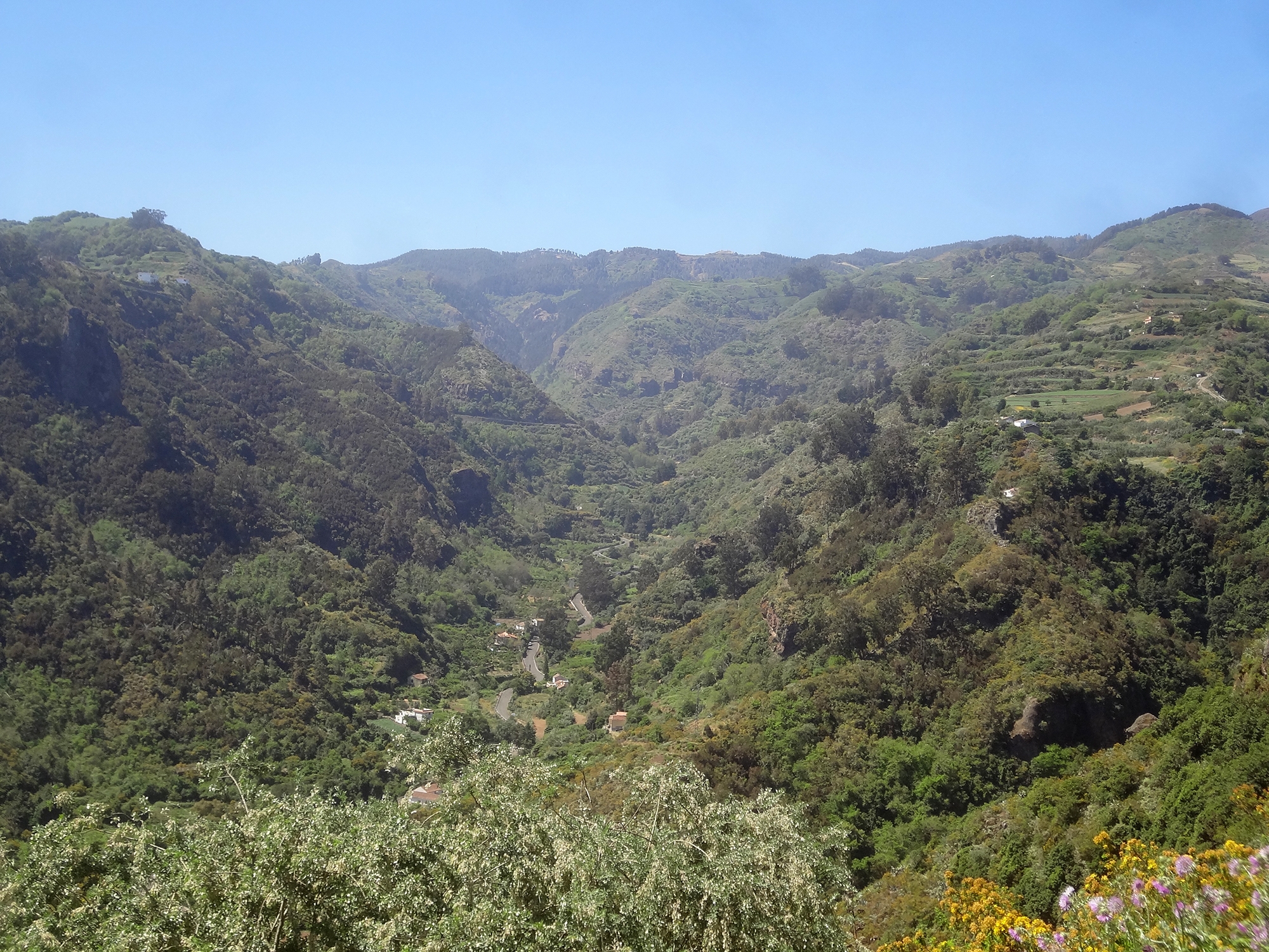
The Doramas Rural Park is named after the legendary aboriginal warrior who defended this land from the Castilian conquerors and died in battle in the 15th century. It is one of the most valuable natural spaces in the north of Gran Canaria and contains remnants of the great laurisilva forest that once covered the island's interior. In the area of Valleseco, the most beautiful access to the park is through the Barranco de la Virgen, flanked by high rock walls among which dense, ever-green laurisilva grows.
One of its tributaries, the Barranco Oscuro, is classified as a Total Natural Reserve — the highest possible protection within the network of natural spaces in Canary Islands — as it hosts endemic flora that, in many cases, only exists in this area. Among its cliffs grow unique species that have survived for millions of years shielded by the humidity and isolation of the ravine.
La Laguna de Valleseco and the Pico de Osorio
About 2.5 kilometers from the urban center lies the La Laguna Recreational Area, one of the most beloved spots in the municipality. Formed by an ancient volcanic crater, its interior is covered with laurisilva, chestnut trees, and wet mid-altitude vegetation. The facilities include barbecues, benches, and water jets under the trees. It is, therefore, a regular destination for families and hikers throughout the year. The Laurisilva Classroom, located next to La Laguna, offers environmental education and interpretative hiking activities.
From La Laguna, you can hike up to the Pico de Osorio, an ancient volcanic crater rising 968 meters high. From its summit, the views encompass the municipalities of Teror, Firgas and Arucas and, on clear days, the north of the island and the capital. It is one of the most comprehensive viewpoints in the north of Gran Canaria and the hike to the top takes about 30-40 minutes from the recreational area.
Calderetas and Montañón Negro
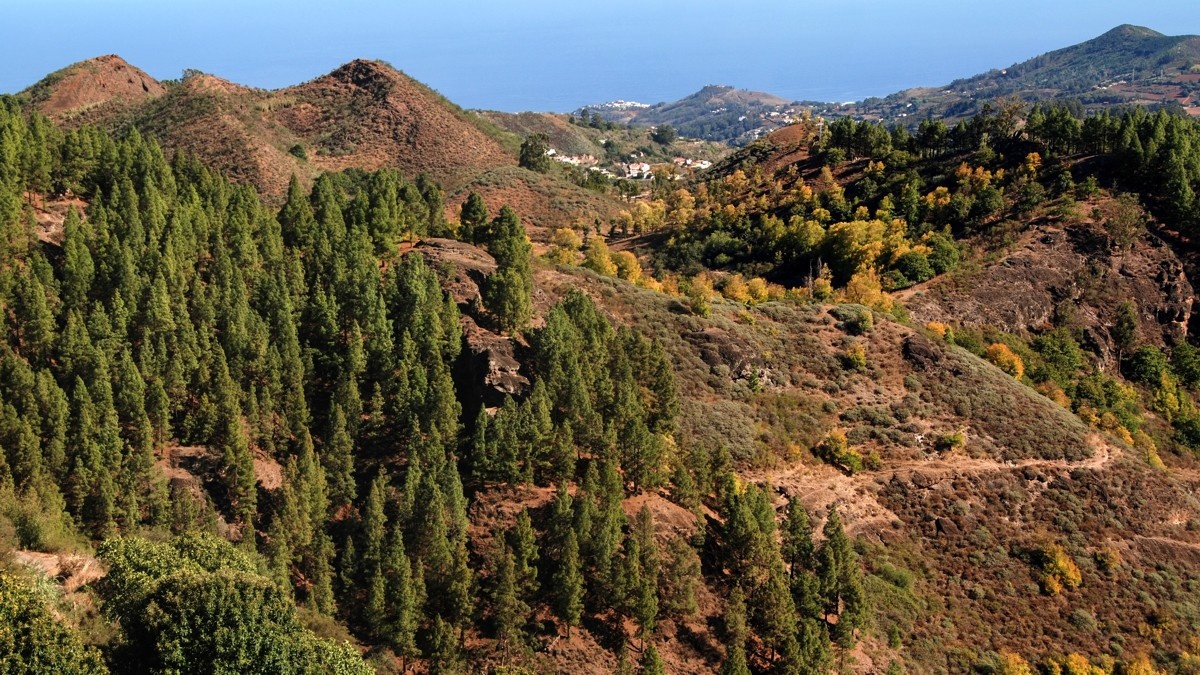
Calderetas is an ancient volcanic caldera of great scenic beauty located along one of the main royal roads of the municipality. Its autumn ochre colors — resulting from the chestnut, poplar, and walnut trees that grow within alongside broom plants — make it one of the most photogenic spots in the north of Gran Canaria between October and November. The trail that passes through Calderetas also traverses extensive pine forests with sea views on clear days.
At the upper limit of the municipality, already in the peaks, stands the Montañón Negro, the most recent volcano of Gran Canaria. It is an almost black basalt volcanic cone of imposing appearance that contrasts with the surrounding green pine forests. The transitional landscape between laurisilva, pines, and volcanic malpaís of the summit is one of the most varied and unique on the entire island.
The historic center and the ecological market
The centre of Valleseco is small and tranquil, with houses of traditional Canarian architecture and the Iglesia de San Vicente Ferrer as the central point. The most interesting building is the MECIV — Ethnographic Museum and Interpretation Center of Valleseco, which also serves as the Tourist Office. Its rooms detail the culture of gofio in Gran Canaria, with particular emphasis on the mills and water utilization. Admission is free.
Every weekend, in the same grounds as the museum, the EcoValles Ecological Market, one of the first ecological markets on the island, takes place. Its stalls offer fruits, vegetables, cheeses, honey, and artisanal products with organic certification and local sourcing. It is also a good time to buy the famous apples from Valleseco, renowned throughout Gran Canaria for their quality.
Gastronomy in Valleseco
The cuisine of Valleseco is notable for its jaramagos stews, a dish made with this wild plant that is highly valued in the north of the island. The municipality's restaurants also serve wrinkled potatoes with mojo, grilled meats, artisanal cheeses, and local garden products. For dessert, chestnut and apple pastries in season are particularly appreciated. The weekend ecological market completes the offering with self-produced products directly from local producers.
How to get to Valleseco
Valleseco is about 28 kilometers of Las Palmas de Gran Canaria via the GC-21 and GC-30 roads, taking between 35 and 45 minutes by car via winding interior roads. The municipality is neighbors with Teror to the east and Firgas to the north, making it easy to combine visits to all three in one day. It is recommended to use a personal vehicle as public transport in the area has very limited frequencies. Also check the map of the municipalities of Gran Canaria to help you navigate the island.
Frequently asked questions about Valleseco Gran Canaria
Why is Valleseco called that if it is a humid place?
The name 'dry valley' contrasts radically with the reality of the municipality, which is one of the wettest in Gran Canaria. Some researchers believe the name refers to the neighboring ravines that, compared to Barranco de la Virgen and Madrelagua, are indeed drier. The constant mist of the trade winds makes Valleseco one of the greenest municipalities on the island today.
What is the Doramas Rural Park?
It is one of the most valuable natural spaces in the north of Gran Canaria, with remnants of the great laurisilva forest that covered the island before the conquest. In Valleseco, the main access is through the Barranco de la Virgen and its tributary Barranco Oscuro, declared Total Natural Reserve due to its unique endemic flora.
What can be seen from Pico de Osorio?
From the top of this ancient volcanic crater at 968 meters , you can see the municipalities of Teror, Firgas and Arucas and, on clear days, the north of Gran Canaria and the capital. The climb from the La Laguna Recreational Area takes about 30-40 minutes.
When is the ecological market in Valleseco?
The EcoValles Ecological Market operates every weekend in the grounds of the Ethnographic Museum. It offers fruits, vegetables, cheeses, honey, and handcrafted items with organic certification and local sourcing. It is one of the first certified ecological markets in Gran Canaria.
What are the jaramagos stews of Valleseco?
The jaramago is a wild plant very common in the north of Gran Canaria. In Valleseco its use in stews is traditional, a simple and tasty dish that the municipality's restaurants serve as a benchmark of local cuisine. It is also one of the most distinctive dishes in the north of the island.
How to get to Valleseco from Las Palmas de Gran Canaria?
It's about 28 kilometers via the GC-21 and GC-30 roads, taking between 35 and 45 minutes by car. The municipality is close to Teror and Firgas, making it possible to combine visits to all three in one day. It is recommended to use a personal vehicle as public transport has very limited frequencies in the area.