
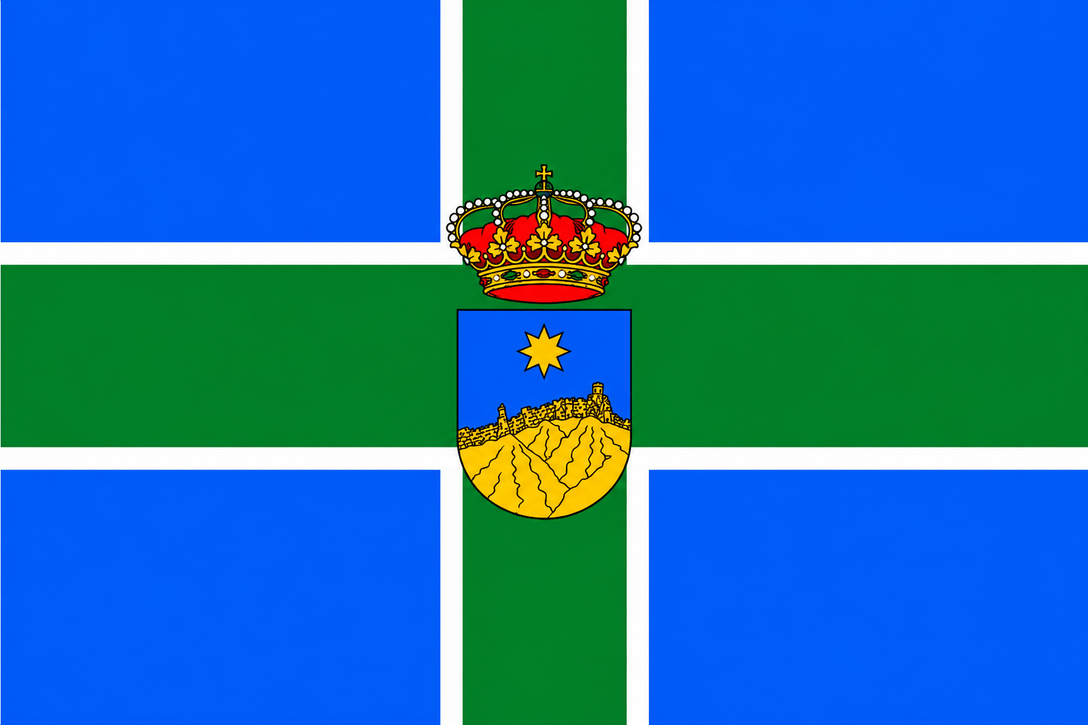
What to see in Tejeda, Gran Canaria
Roque Nublo and the peaks of Gran Canaria
Tejeda Gran Canaria, the island's volcanic heart between rock monoliths and almond trees
Tejeda is the first municipality in Gran Canaria to join the list of The Most Beautiful Villages of Spain and the most representative of the island's volcanic interior. Sitting at 1,050 metres above sea level in the Caldera de Tejeda, it is surrounded by the archipelago's two most photographed geological icons: the Roque Nublo and the Roque Bentayga. Its territory is part of the Cultural Landscape declared World Heritage by UNESCO in 2019. In addition, between January and February, when thousands of almond trees bloom white and pink across the volcanic landscape, the municipality becomes one of the most impressive natural spectacles in Canary Islands. Check the webcams of Gran Canaria and check the weather before heading up.
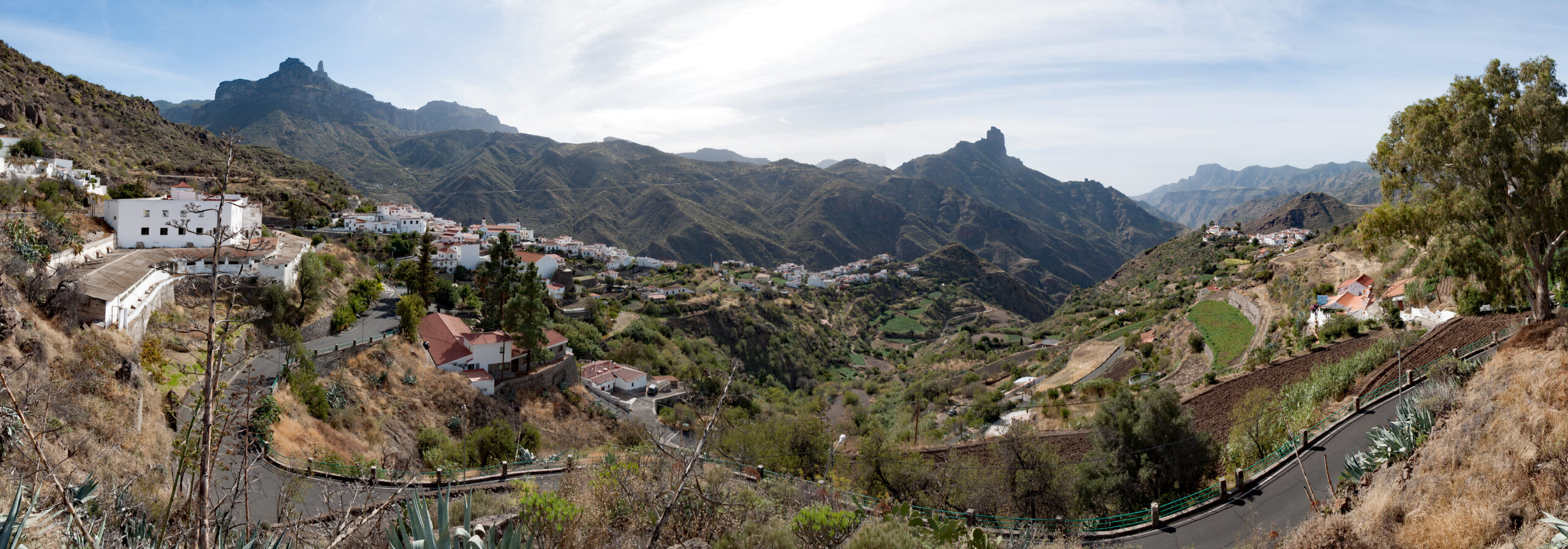
The Roque Nublo
The Roque Nublo is the most recognisable natural symbol of Gran Canaria and one of the largest volcanic monoliths in the world. Standing 80 metres tall above its base and 1,813 metres above sea level, it dominates the island's landscape from almost anywhere in the interior. It formed around 4.5 million years ago from a volcanic eruption, and subsequent erosion has sculpted its unmistakable silhouette, with the small rock known as Fraile beside it and the Roque de la Rana very close by.
The trail to the base of the Roque Nublo starts at the Mirador de La Goleta (GC-600, km 11.3) and covers about 3 kilometres round trip with low difficulty. The route crosses a landscape of Canary pine forest and volcanic rock that changes completely in appearance depending on the season. On clear days, the Teide of Tenerife can be seen in the background from the base. For the island's indigenous people, the Roque Nublo was a sacred place where they worshipped the god Acorán and carried out astronomical observation rituals.
The Roque Bentayga and the UNESCO Heritage
The Roque Bentayga, at 1,414 metres above sea level, is the municipality's second great volcanic monolith and holds exceptional archaeological value. On its eastern face it preserves an almogarén — an indigenous sanctuary carved into the rock where the ancient Canarians held rituals and worshipped the sun, moon and stars. Next to the rock are the Cuevas del Rey, a set of dwelling and burial caves that shows how the indigenous people lived in this area. For all this, the Roque Bentayga is part of the Paisaje Cultural del Risco Caído y las Montañas Sagradas, declared World Heritage in 2019.
The Centro de Interpretación del Roque Bentayga, at the El Majadal estate accessible via the GC-671 road, explains the site's indigenous history free of charge before setting off on the trail. The route to the almogarén is of low difficulty and takes about 45 minutes.
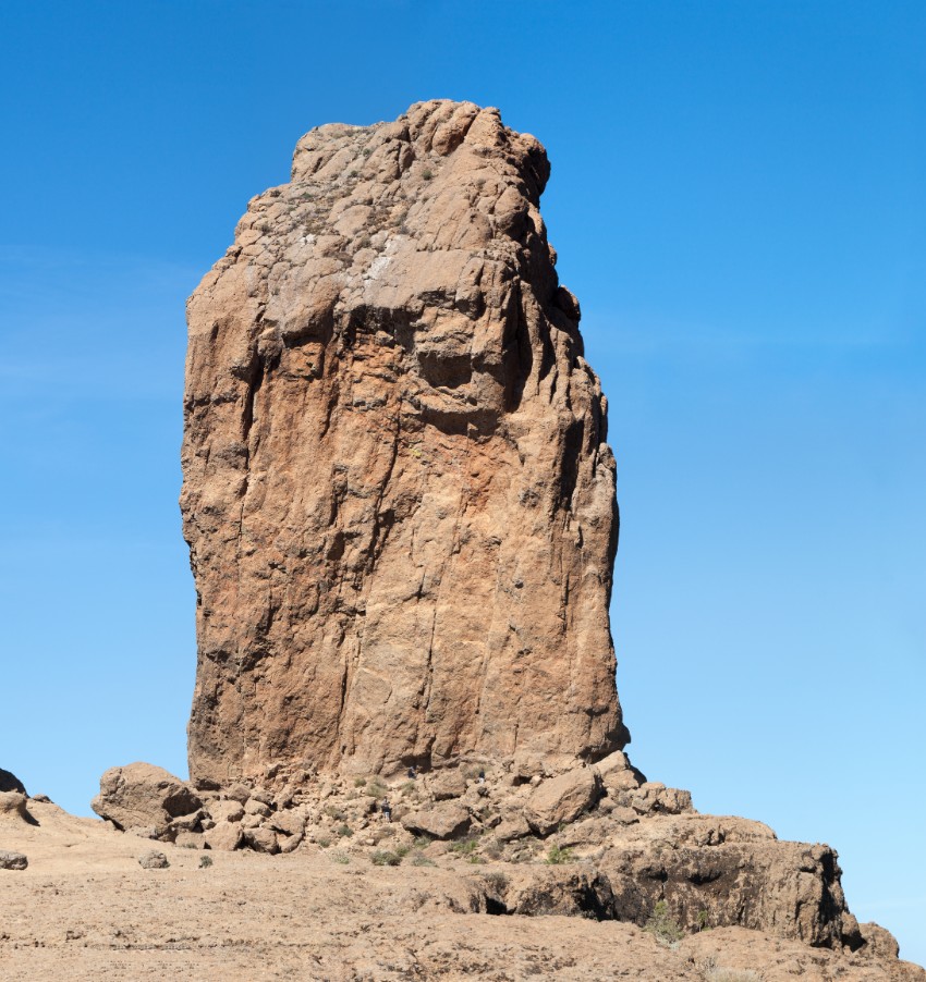
The Caldera de Tejeda and its viewpoints
The Caldera de Tejeda is a large volcanic depression that occupies the centre of Gran Canaria and whose interior forms the municipality's territory. Some of the island's most impressive views can be seen from its rim. Writer Miguel de Unamuno, who visited Gran Canaria in 1910, described the landscape of Tejeda as a «petrified storm», an image that still holds completely true today.
The village centre has several viewpoints from which to see the Roque Nublo and the Roque Bentayga at the same time. The Cruz de Tejeda, at the top of the municipality at 1,490 metres, is the best-known spot: several historic paths through the island's interior converge here, and the Parador de Cruz de Tejeda offers accommodation with extraordinary views over the volcanic heart of Gran Canaria.
The Fiesta del Almendro en Flor
Each January and February, the municipality of Tejeda is covered in white and pink as thousands of almond trees come into bloom across the volcanic landscape. The Fiesta del Almendro en Flor — declared a National Tourist Interest Festival — is the best-known celebration in the interior of Gran Canaria and draws visitors from across the island and beyond the archipelago. The sight of almond trees in bloom among ravines, rock monoliths and blue winter skies is one of the most photogenic in Canary Islands.
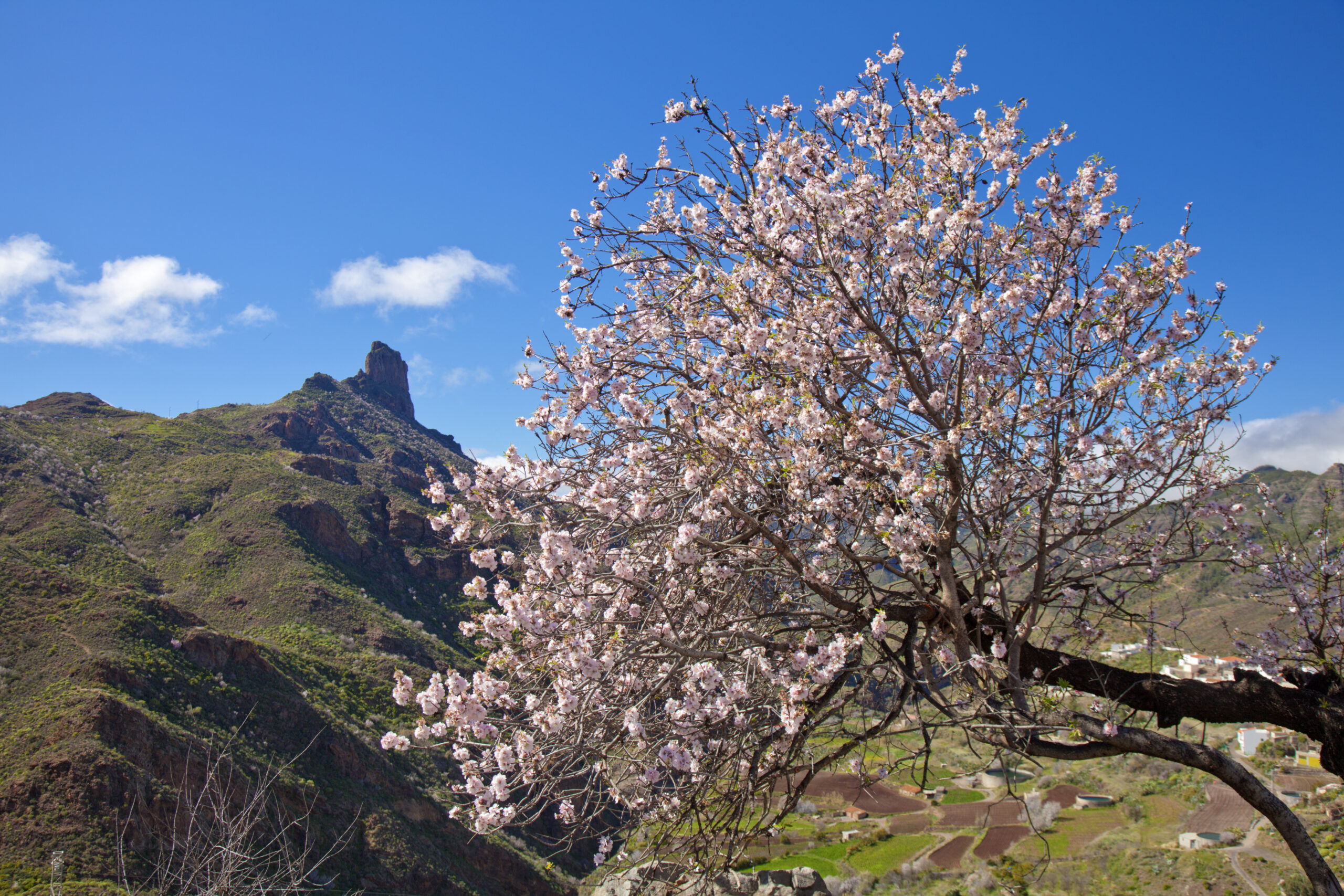
The exact date of the festival varies according to each year's blossom, so it's worth checking the calendar of the Tejeda town hall of Tejeda before planning your visit.
Gastronomy in Tejeda
The cuisine of Tejeda is that of the volcanic interior of Gran Canaria: honest and made from local produce. The municipality's restaurants are known for their almonds — candied, as liqueur, bizcochón or marzipan — made by hand and available for purchase directly at the village's workshops. The wrinkled potatoes with mojo, grilled meats and vegetable stews round out the offering. The Asador Grill El Almendro, the Restaurante Gayfa with its terrace over the ravine and the Bar Roque Nublo are the most highly rated in the municipality. In addition, the Museo Abraham Cárdenes in the village centre is dedicated to the work of the most important local sculptor of the 20th century.
How to get to Tejeda
Tejeda is in the center of Gran Canaria, about 40 kilometres from Las Palmas de Gran Canaria via the GC-21 and GC-15 roads (between 50 and 60 minutes by car on mountain roads). From the south, the usual route is via the GC-60 from San Bartolomé de Tirajana. The Parador de Cruz de Tejeda has access via the GC-15 from Teror. A private car is recommended, as public transport in the area runs very infrequently. Also check the map of the municipalities of Gran Canaria to help you navigate the island.
Frequently asked questions about Tejeda Gran Canaria
How do you get to Roque Nublo from Tejeda?
The most common starting point is the Mirador de La Goleta, on the GC-600 road at km 11.3, about 10 minutes by car from the village of Tejeda. From the viewpoint's car park, the round-trip trail is about 3 kilometres with low difficulty. The walk to the base of the rock takes between 30 and 45 minutes.
What is the almogarén of Roque Bentayga?
It is an indigenous sanctuary carved into the rock of the Roque Bentayga where the ancient Canarians held religious rituals and observed the sun and moon to set their farming calendar. It is one of the elements that led UNESCO to declare the area World Heritage in 2019. The Interpretation Center next to the rock explains it free of charge.
When is the Fiesta del Almendro en Flor in Tejeda held?
The festival is held between January and February, depending on each year's almond blossom. The exact date varies and the Tejeda town hall of Tejeda announces it just a few weeks in advance. It is a National Tourist Interest Festival and one of the most photographed in Gran Canaria.
Is Tejeda a UNESCO World Heritage Site?
Yes. The municipality of Tejeda is part of the Paisaje Cultural del Risco Caído y las Montañas Sagradas de Gran Canaria, declared World Heritage by UNESCO in 2019. The recognition includes the Roque Bentayga and its indigenous almogarén, along with other sites and landscapes in the island's interior.
What handmade sweets can you buy in Tejeda?
The almonds of the municipality are the basis of its most sought-after sweets: marzipan, bizcochón, almond liqueur and almond preserve. They are made by hand and sold at the village's workshops. They are the most representative culinary souvenir of Tejeda and of the route through the interior of Gran Canaria.
How do you get to Tejeda from Las Palmas de Gran Canaria?
It's about 40 kilometres via the GC-21 and GC-15 roads, between 50 and 60 minutes by car on winding mountain roads. From the south of the island, the usual route is via the GC-60 from San Bartolomé de Tirajana. A private car is recommended, as public transport in the area is very limited.