
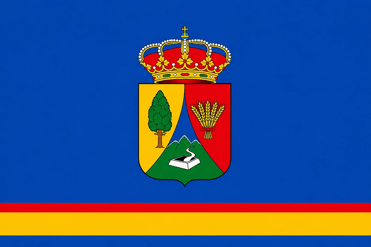
What to see in El Tanque, Tenerife
Northwest midlands, among pines and volcanoes
El Tanque Tenerife, the volcanic municipality of the northwest
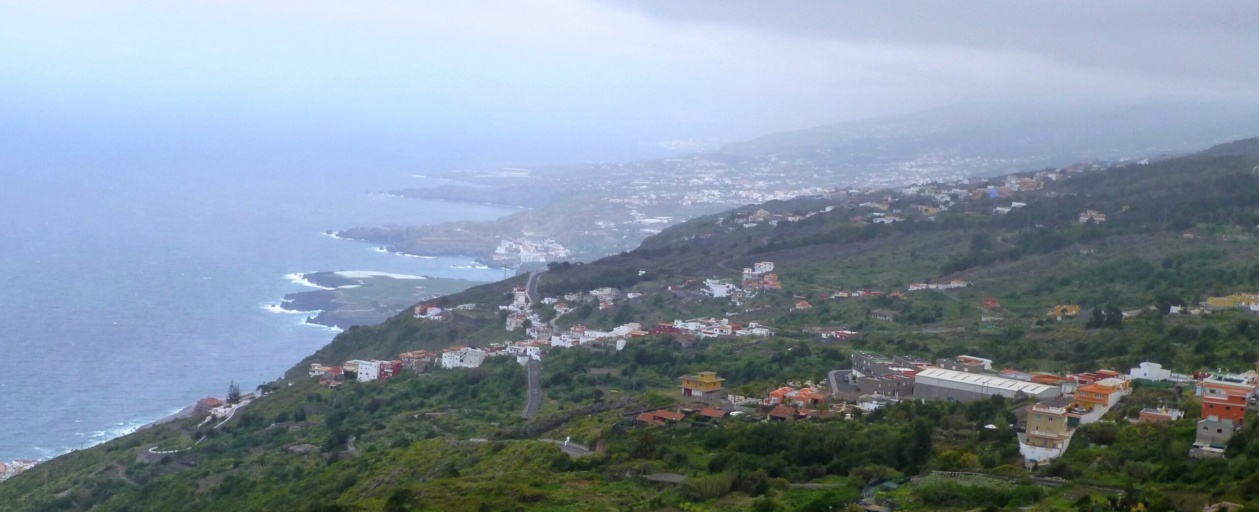
El Tanque is one of the three municipalities in Tenerife with no coastline, along with Tegueste and Vilaflor. Its territory, in the northwest of the island, rises from old cliffs up to volcanic summit areas, with more than 60% of its area included in protected natural spaces. Its history is also marked by two volcanic eruptions — that of Arenas Negras in 1706 and that of Chinyero in 1909 — which shaped the municipality's landscape and life for good. For all this, it is an ideal destination for anyone seeking nature, tranquillity and a Tenerife far removed from mass tourism. You can check the live cameras in Tenerife to see the weather conditions on the island.
The Chinyero volcano and the volcanic landscape
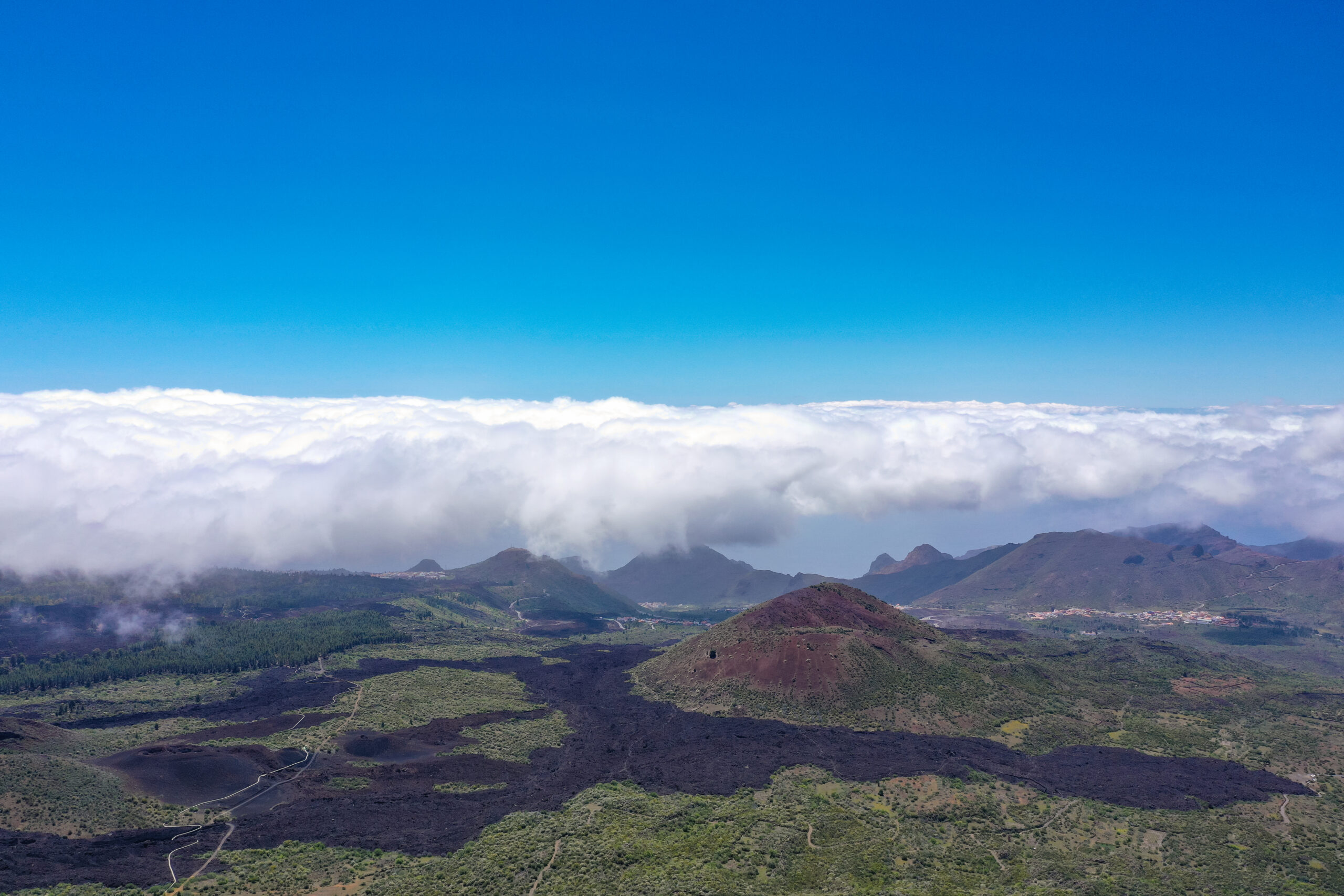
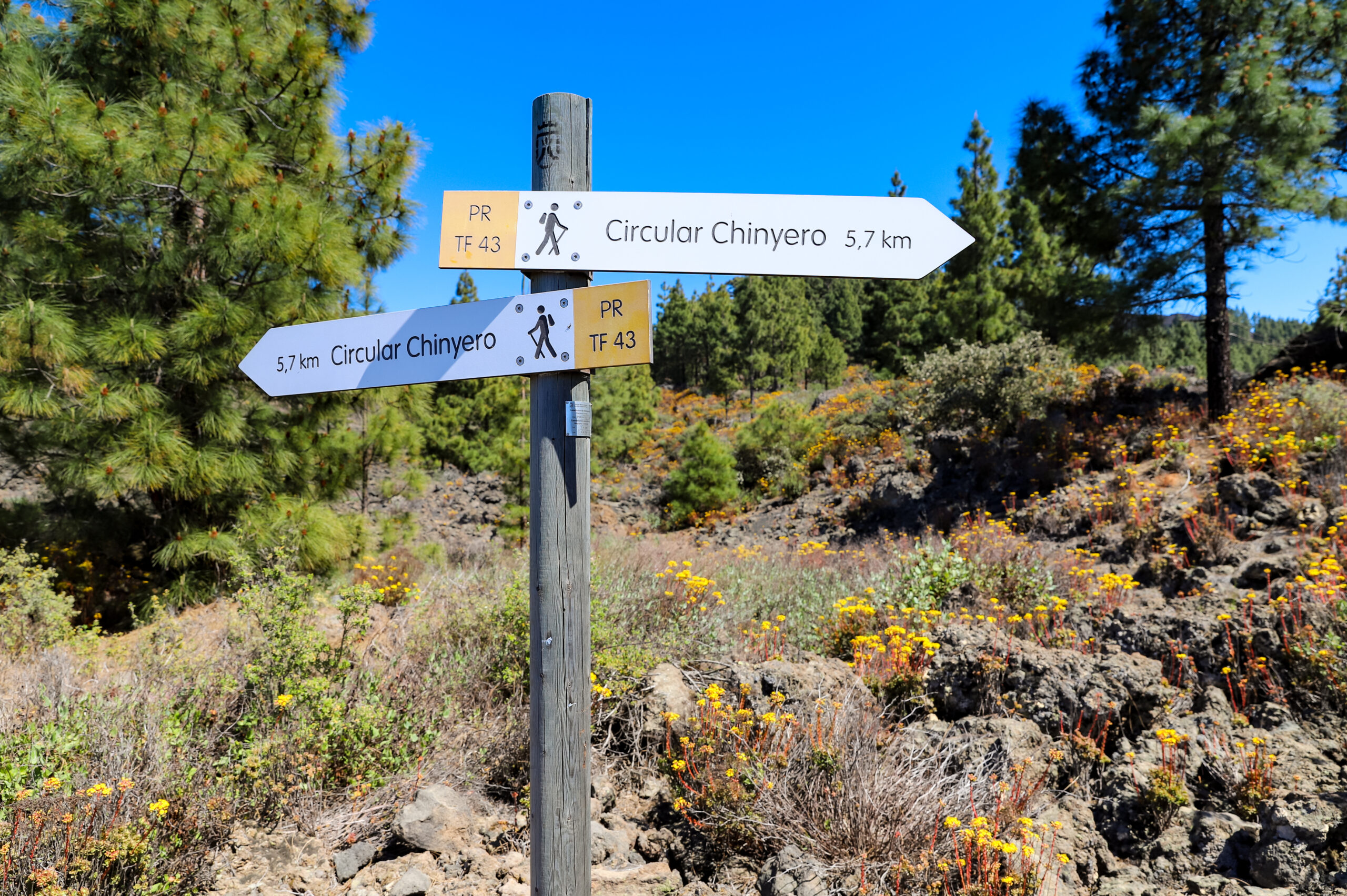
The Chinyero volcano erupted in 1909 and is the most recent volcano to have erupted in Tenerife. The Chinyero lava flow, today partly covered by Canary pine forest, is part of the Reserva Natural Especial del Chinyero, one of the municipality's protected areas. The circular route around the crater and its surroundings is one of the most popular excursions in the northwest of the island, with well-marked trails through badlands and pine forest.
The eruption of Arenas Negras in 1706 also left an even more dramatic mark: its lava flow buried the old trading harbour of Garachico and part of the territory of El Tanque. Today, the volcano's lava fields are a distinctive landscape feature that can be explored on foot along the municipality's historic paths.
The Ecomuseo de El Tanque
The Ecomuseo de El Tanque is one of the most recommended visits in the northwest of Tenerife for anyone wanting to understand what rural Canarian life used to be like. It occupies an old estate of the Partidos de Abajo and faithfully recreates local living conditions across nine rooms: old living quarters, livestock areas, harvest spaces and even a small tavern. The visit can be done independently or with a guide.
The ecomuseum also offers views towards the Teide and towards the Isla Baja, the stretch of coast in the northwest that lies at the foot of the municipality. It is, therefore, a stop with both cultural and scenic value.
Viewpoints and views
El Tanque has several viewpoints that make the most of its privileged mid-mountain position. The Mirador de Lomo Molino, at 640 metres above sea level, offers wide views over the Isla Baja and the north coast of Tenerife. On clear days, you can even see the Teide on the horizon. The Mirador El Lagarito and the Mirador Lomo Alto round out the municipality's network of viewpoints, all accessible by car and well signposted.
Las Charcas de Erjos
The Charcas de Erjos, shared with the neighbouring municipality of Los Silos, are one of the most distinctive ecosystems in the northwest of Tenerife. Formed from old soil extraction sites, a series of natural lagoons developed that over time filled with vegetation and water. Today they are a leading birdwatching site in Canary Islands, providing shelter for numerous rare or threatened bird species elsewhere on the island, including some migratory species. It is also a quiet, little-visited spot, ideal for observing nature.
Hiking and protected areas
More than 60% of El Tanque's territory is included in protected natural areas: the Reserva Natural Especial del Chinyero, the Teno Rural Park, the Parque Natural de Corona Forestal, the Paisaje Protegido de los Acantilados de La Culata and the Sitio de Interés Científico de Interián. Because of this, the municipality offers a wide variety of hiking routes, from the Chinyero loop to the descent along old royal paths between volcanic lava fields and cultivated terraces.
From El Tanqueyou can also easily reach the Teno Rural Park, with routes to Masca, Teno Alto and the Teno Point, one of the wildest and most photogenic corners of Tenerife.
Gastronomy in El Tanque
The gastronomy of El Tanque 's gastronomy is unpretentious inland Canarian fare: honest, made from local produce and deeply rooted in the land. The municipality's bars and restaurants serve traditional cuisine with ingredients from nearby market gardens: wrinkled potatoes with mojo, vegetable stews, grilled meats and homemade goat's cheese. The municipality is also part of an area known for the quality of its northwestern wines , produced on mid-mountain terraces. The local honey is also renowned in the area, with hives set among the municipality's pine forest and laurel woodland.
How to get to El Tanque
El Tanque is in the northwest of Tenerife, about 55 kilometres from Santa Cruz de Tenerife and about 6 kilometres from Icod de los Vinos via the TF-42. From the Tenerife North Airport the journey takes about an hour by car. It is recommended to have your own vehicle, since public transport in the area is limited. Also check the live cameras of Tenerife to get your bearings on the island.
Frequently asked questions about El Tanque Tenerife
Does El Tanque have a beach?
No. El Tanque is one of the three municipalities in Tenerife with no coastline, along with Tegueste and Vilaflor. Instead, it offers viewpoints over the sea, volcanic natural areas, hiking routes and rural tourism in a mid-mountain setting in the northwest of the island.
What is the Chinyero volcano?
The Chinyero is the most recent volcano to have erupted in Tenerife, in 1909. Its lava flow is part of the Reserva Natural Especial del Chinyero, within the municipal boundaries of El Tanque. Today it can be explored on a signposted circular route through badlands and Canary pine forest.
What are the Charcas de Erjos?
They are natural lagoons on the border between El Tanque and Los Silos, formed from old soil extraction sites. They are one of the best birdwatching spots in the northwest of Tenerife, with rare and migratory species not easily found elsewhere on the island.
What is the Ecomuseo de El Tanque?
It is an ethnographic museum on an old estate that recreates rural Canarian living conditions across nine rooms: living quarters, livestock areas, harvest spaces and a tavern. It also offers views towards the Teide and the Isla Baja.
What hiking routes are there in El Tanque?
Stand out the the Chinyero circular route, which runs around the most recently active volcanic crater in Tenerife; the descent along old royal paths between volcanic lava fields and terraces; and access to the Teno Rural Park, with routes to Masca and the Teno Point. More than 60% of the municipal territory is protected natural land.
How do you get to El Tanque from the north of Tenerife?
From Icod de los Vinos it's about 6 kilometres via the TF-42, roughly 10 minutes by car. From Garachico access is similar via well-signposted secondary roads. It is recommended to have your own car due to limited public transport frequency in the area.